Dundee night lights from space
Night Light of Dundee (Scotland) from space (United Kingdom) Src. Average luminocity for 10x10km area is 46.7591% and for 50x50km: 3.8263%.
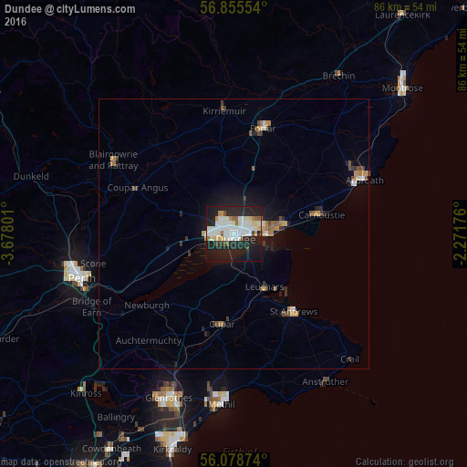
Analysis of Dundee night lights 2016
Square area 10x10 km:
 12.16%
90-99
14.55%80-89
5%70-79
2.73%60-69
2.05%50-59
3.07%40-49
1.14%30-39
2.05%20-29
22.5%10-19
31.02%0-9
3.75%Square area 50x50 km:
0.6%90-99
0.71%80-89
0.35%70-79
0.42%60-69
0.45%50-59
0.35%40-49
0.35%30-39
0.42%20-29
1.3%10-19
2.83%0-9
92.22%Clear (daylight) street map image can be seen on geolist.org.
Map coordinates:
56° 51' 19.9" North, 3° 40' 40.8" West
56° 28' 8.9" North, 2° 58' 29.6" West
56° 4' 43.5" North, 2° 16' 18.3" West
Some cities around Dundee sort by population:
• Arbroath
26 km =16.2 mi,  66°
66°
• Saint Andrews
18.1 km =11.2 mi,  143°
143°
• Forfar
20.1 km =12.5 mi,  14°
14°
• Carnoustie
17 km =10.6 mi,  77°
77°
• Cupar
16.9 km =10.5 mi,  187°
187°
• Blairgowrie
26.2 km =16.3 mi,  301°
301°
• Monifieth
9.8 km =6.1 mi, 81°
• Kirriemuir
22.8 km =14.2 mi,  355°
355°
2650752 (p: 147,710)
Sources (retrieved 2019-11-25):
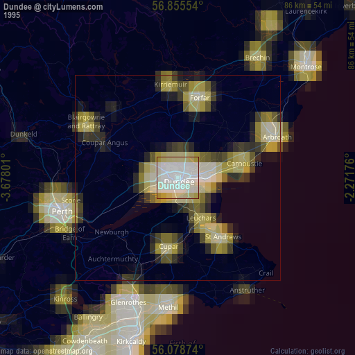
» NASA, Earths city lights 1995
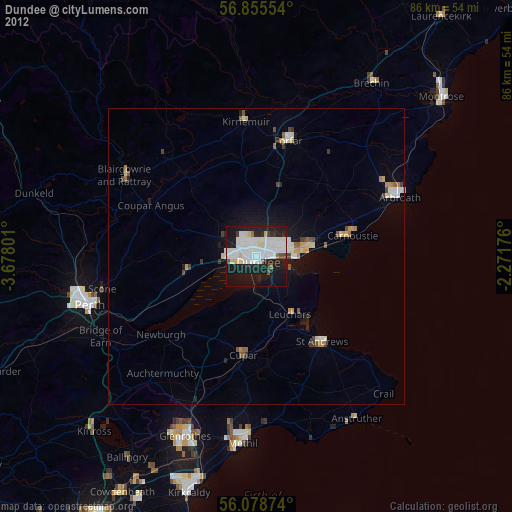
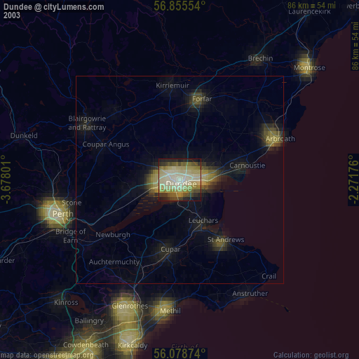
» NASA city lights 2003
» Earth at Night: Flat Maps 2012, 2016