Blairgowrie night lights from space
Night Light of Blairgowrie (Scotland) from space (United Kingdom) Src. Average luminocity for 10x10km area is 1.8284% and for 50x50km: 2.8816%.
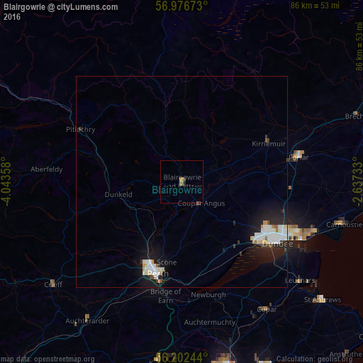
Analysis of Blairgowrie night lights 2016
Square area 10x10 km:
 0%
0%90-99
0%80-89
0%70-79
0.91%60-69
0.8%50-59
0.11%40-49
0.23%30-39
0.68%20-29
0.34%10-19
0.11%0-9
96.82%Square area 50x50 km:
0.63%90-99
0.78%80-89
0.26%70-79
0.2%60-69
0.12%50-59
0.13%40-49
0.11%30-39
0.27%20-29
0.91%10-19
2.67%0-9
93.92%Clear (daylight) street map image can be seen on geolist.org.
Map coordinates:
56° 58' 36.2" North, 4° 2' 36.9" West
56° 35' 29.7" North, 3° 20' 25.6" West
56° 12' 8.8" North, 2° 38' 14.4" West
Some cities around Blairgowrie sort by population:
• Dundee
26.2 km =16.3 mi,  121°
121°
• Perth
22.5 km =14 mi,  194°
194°
• Forfar
28.2 km =17.5 mi,  78°
78°
• Carnoustie
40.2 km =25 mi,  104°
104°
• Cupar
36.4 km =22.6 mi,  146°
146°
• Monifieth
34.3 km =21.3 mi,  110°
110°
• Crieff
39.1 km =24.3 mi,  231°
231°
• Kirriemuir
22.6 km =14 mi,  66°
66°
2655394 (p: 8,890)
Sources (retrieved 2019-11-25):
» Earth at Night: Flat Maps 2012, 2016