Cupar night lights from space
Night Light of Cupar (Scotland) from space (United Kingdom) Src. Average luminocity for 10x10km area is 1.7744% and for 50x50km: 6.1016%.
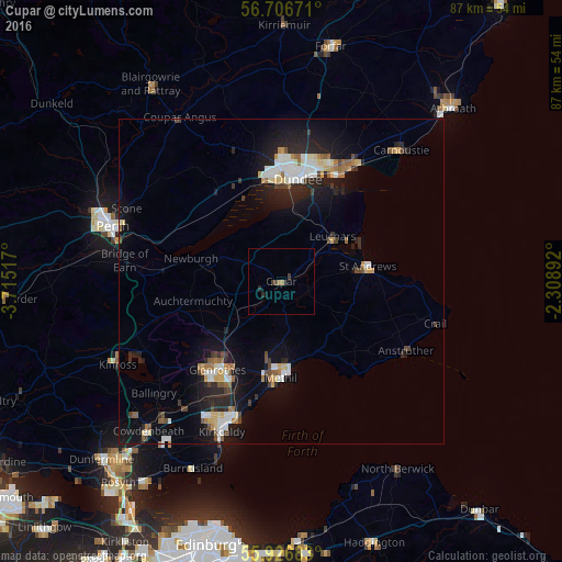
Analysis of Cupar night lights 2016
Square area 10x10 km:
 0%
0%90-99
0%80-89
0%70-79
0%60-69
1%50-59
0%40-49
0.5%30-39
1%20-29
1.38%10-19
0.5%0-9
95.61%Square area 50x50 km:
0.91%90-99
1.15%80-89
0.63%70-79
0.48%60-69
0.68%50-59
0.54%40-49
0.68%30-39
0.55%20-29
2.07%10-19
5.22%0-9
87.08%Clear (daylight) street map image can be seen on geolist.org.
Map coordinates:
56° 42' 24.2" North, 3° 42' 54.6" West
56° 19' 7.5" North, 3° 0' 43.3" West
55° 55' 36.6" North, 2° 18' 32.1" West
Some cities around Cupar sort by population:
• Dundee
16.9 km =10.5 mi,  7°
7°
• Kirkcaldy
24.2 km =15 mi,  202°
202°
• Glenrothes
17 km =10.6 mi,  215°
215°
• Saint Andrews
13.3 km =8.3 mi,  80°
80°
• Methil
14.8 km =9.2 mi,  182°
182°
• Leven
13.2 km =8.2 mi, 176°
• Monifieth
21.8 km =13.5 mi,  33°
33°
• Ballingry
26 km =16.2 mi,  228°
228°
2651698 (p: 9,270)
Sources (retrieved 2019-11-25):
» Earth at Night: Flat Maps 2012, 2016