Glenrothes night lights from space
Night Light of Glenrothes (Scotland) from space (United Kingdom) Src. Average luminocity for 10x10km area is 24.0443% and for 50x50km: 7.8926%.
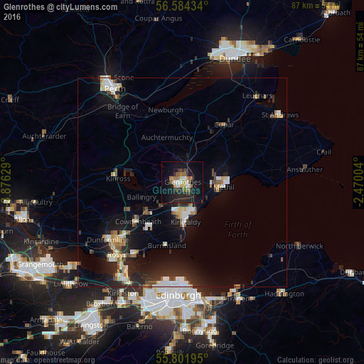
Analysis of Glenrothes night lights 2016
Square area 10x10 km:
 2.03%
2.03%90-99
3.71%80-89
1.67%70-79
2.03%60-69
5.5%50-59
2.99%40-49
2.51%30-39
2.03%20-29
12.2%10-19
27.51%0-9
37.8%Square area 50x50 km:
1.06%90-99
1.32%80-89
0.77%70-79
0.7%60-69
0.93%50-59
0.71%40-49
0.94%30-39
0.84%20-29
3.16%10-19
6.77%0-9
82.78%Clear (daylight) street map image can be seen on geolist.org.
Map coordinates:
56° 35' 3.6" North, 3° 52' 34.6" West
56° 11' 42.5" North, 3° 10' 23.4" West
55° 48' 7" North, 2° 28' 12.1" West
Some cities around Glenrothes sort by population:
• Kirkcaldy
8.7 km =5.4 mi,  174°
174°
• Cowdenbeath
14.1 km =8.8 mi,  228°
228°
• Methil
9.4 km =5.8 mi,  96°
96°
• Leven
10.7 km =6.6 mi,  87°
87°
• Kelty
14.9 km =9.3 mi,  242°
242°
• Lochgelly
11.3 km =7 mi, 228°
• Burntisland
15.7 km =9.8 mi,  194°
194°
• Ballingry
10.2 km =6.3 mi,  250°
250°
2648438 (p: 39,100)
Sources (retrieved 2019-11-25):
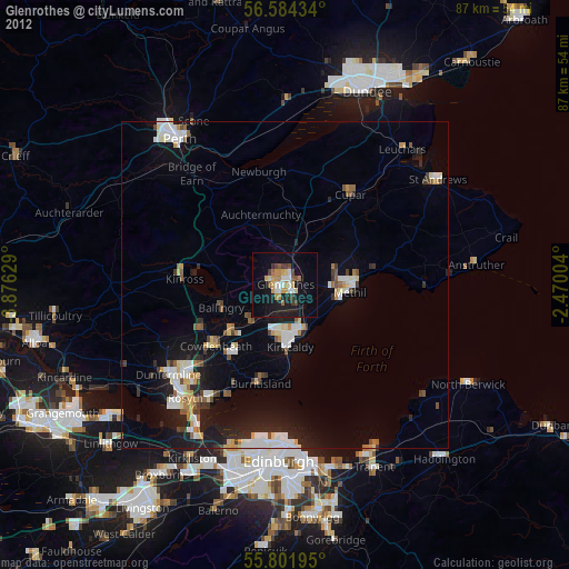
» Earth at Night: Flat Maps 2012, 2016