Pembroke night lights from space
Night Light of Pembroke (Wales) from space (United Kingdom) Src. Average luminocity for 10x10km area is 7.5112% and for 50x50km: 1.4115%.
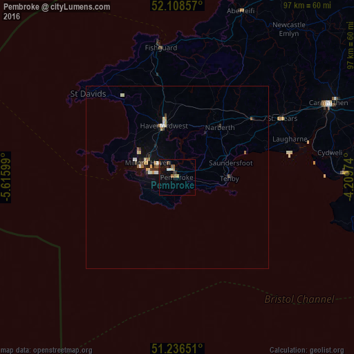
Analysis of Pembroke night lights 2016
Square area 10x10 km:
 0.28%
0.28%90-99
0.84%80-89
0.7%70-79
0.98%60-69
1.4%50-59
1.82%40-49
0.42%30-39
1.4%20-29
0.84%10-19
3.64%0-9
87.68%Square area 50x50 km:
0.15%90-99
0.19%80-89
0.19%70-79
0.19%60-69
0.16%50-59
0.18%40-49
0.1%30-39
0.22%20-29
0.24%10-19
0.7%0-9
97.67%Clear (daylight) street map image can be seen on geolist.org.
Map coordinates:
52° 6' 30.9" North, 5° 36' 57.6" West
51° 40' 28.7" North, 4° 54' 46.3" West
51° 14' 11.4" North, 4° 12' 35.1" West
Some cities around Pembroke sort by population:
• Llanelli
51.8 km =32.2 mi,  89°
89°
• Gorseinon
60.1 km =37.3 mi, 90°
• Carmarthen
46.4 km =28.8 mi,  64°
64°
• Haverfordwest
14.6 km =9.1 mi,  344°
344°
• Milford Haven
9.4 km =5.8 mi,  296°
296°
• Pontarddulais
60.4 km =37.5 mi, 85°
• Burry Port
45.9 km =28.5 mi, 88°
• Cardigan
48.6 km =30.2 mi,  20°
20°
2640503 (p: 7,552)
Sources (retrieved 2019-11-25):
» Earth at Night: Flat Maps 2012, 2016