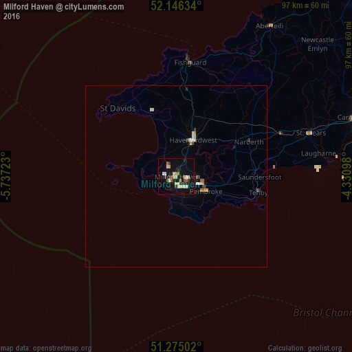
Milford Haven night lights from space
Night Light of Milford Haven (Wales) from space (United Kingdom) Src. Average luminocity for 10x10km area is 19.4468% and for 50x50km: 1.3885%.
Analysis of Milford Haven night lights 2016
Square area 10x10 km:
 2.24%
2.24%90-99
2.66%80-89
3.08%70-79
2.66%60-69
1.68%50-59
2.1%40-49
1.26%30-39
3.5%20-29
3.78%10-19
15.41%0-9
61.62%Square area 50x50 km:
0.15%90-99
0.19%80-89
0.19%70-79
0.19%60-69
0.14%50-59
0.17%40-49
0.09%30-39
0.22%20-29
0.26%10-19
0.68%0-9
97.72%Clear (daylight) street map image can be seen on geolist.org.
Map coordinates:
52° 8' 46.8" North, 5° 44' 14" West
51° 42' 46" North, 5° 2' 2.8" West
51° 16' 30.1" North, 4° 19' 51.5" West
Some cities around Milford Haven sort by population:
• Llanelli
60.2 km =37.4 mi,  93°
93°
• Carmarthen
52.6 km =32.7 mi,  72°
72°
• Haverfordwest
10.8 km =6.7 mi,  24°
24°
• Pembroke Dock
6.9 km =4.3 mi,  110°
110°
• Pontarddulais
68.6 km =42.6 mi, 89°
• Burry Port
54.3 km =33.7 mi, 93°
• Pembroke
9.4 km =5.8 mi,  116°
116°
• Cardigan
48.5 km =30.1 mi,  31°
31°
2642534 (p: 13,582)
Sources (retrieved 2019-11-25):
» Earth at Night: Flat Maps 2012, 2016