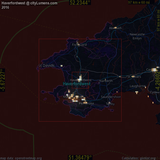
Haverfordwest night lights from space
Night Light of Haverfordwest (Wales) from space (United Kingdom) Src. Average luminocity for 10x10km area is 6.5364% and for 50x50km: 1.4284%.
Analysis of Haverfordwest night lights 2016
Square area 10x10 km:
 1.26%
1.26%90-99
0.7%80-89
1.12%70-79
1.4%60-69
0.56%50-59
0%40-49
0.56%30-39
0.56%20-29
0.84%10-19
0.28%0-9
92.72%Square area 50x50 km:
0.14%90-99
0.19%80-89
0.19%70-79
0.18%60-69
0.16%50-59
0.18%40-49
0.13%30-39
0.26%20-29
0.29%10-19
0.69%0-9
97.59%Clear (daylight) street map image can be seen on geolist.org.
Map coordinates:
52° 14' 3.8" North, 5° 40' 20.2" West
51° 48' 6.1" North, 4° 58' 8.9" West
51° 21' 53.2" North, 4° 15' 57.7" West
Some cities around Haverfordwest sort by population:
• Llanelli
57.1 km =35.5 mi,  103°
103°
• Carmarthen
46 km =28.6 mi,  82°
82°
• Milford Haven
10.8 km =6.7 mi,  204°
204°
• Pembroke Dock
12.4 km =7.7 mi,  170°
170°
• Pontarddulais
64.8 km =40.3 mi, 98°
• Burry Port
51.4 km =31.9 mi, 104°
• Pembroke
14.6 km =9.1 mi,  164°
164°
• Cardigan
37.8 km =23.5 mi,  33°
33°
2647311 (p: 14,596)
Sources (retrieved 2019-11-25):
» Earth at Night: Flat Maps 2012, 2016