New Malden night lights from space
Night Light of New Malden (England) from space (United Kingdom) Src. Average luminocity for 10x10km area is 85.0756% and for 50x50km: 60.043%.
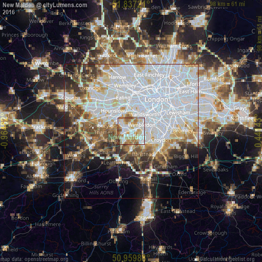
Analysis of New Malden night lights 2016
Square area 10x10 km:
 25.91%
90-99
28.01%80-89
10.08%70-79
12.75%60-69
15.27%50-59
5.6%40-49
1.54%30-39
0.84%20-29
0%10-19
0%0-9
0%Square area 50x50 km:
25.61%90-99
13.7%80-89
5.01%70-79
4.6%60-69
5.18%50-59
5.23%40-49
5.47%30-39
5.03%20-29
5.93%10-19
8.49%0-9
15.73%Clear (daylight) street map image can be seen on geolist.org.
Map coordinates:
51° 50' 14" North, 0° 57' 53.4" West
51° 24' 2.3" North, 0° 15' 42.1" West
50° 57' 35.6" North, 0° 26' 29.1" East
Some cities around New Malden sort by population:
• Morden
4.4 km =2.7 mi,  93°
93°
• Surbiton
2.7 km =1.7 mi,  248°
248°
• Chessington
5.2 km =3.2 mi,  214°
214°
• Hook
4.8 km =3 mi,  220°
220°
• Worcester Park
2.6 km =1.6 mi,  152°
152°
• Cheam
5.2 km =3.2 mi, 146°
• Kingston upon Thames
2.8 km =1.7 mi,  298°
298°
• Teddington
5.3 km =3.3 mi, 296°
2641617 (p: 23,818)
Sources (retrieved 2019-11-25):
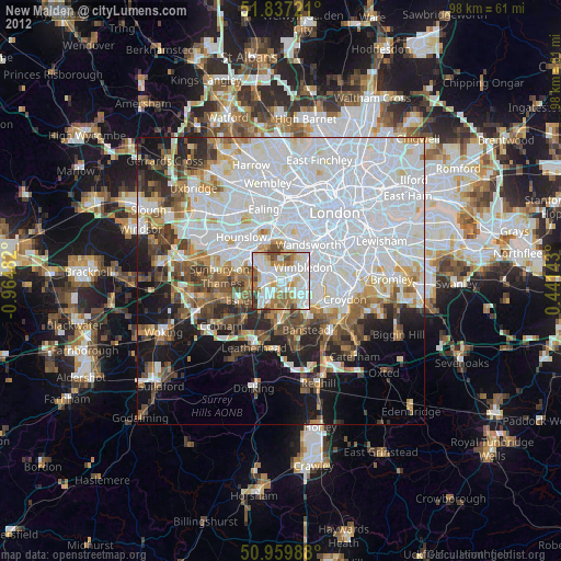
» Earth at Night: Flat Maps 2012, 2016