Surbiton night lights from space
Night Light of Surbiton (England) from space (United Kingdom) Src. Average luminocity for 10x10km area is 75.5098% and for 50x50km: 57.6781%.
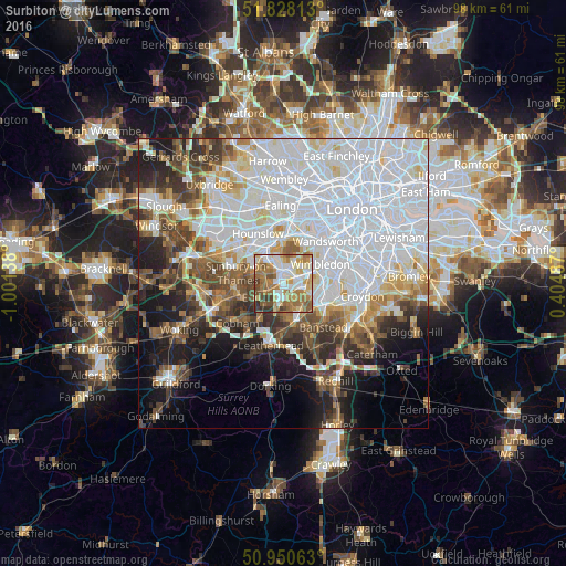
Analysis of Surbiton night lights 2016
Square area 10x10 km:
 15.13%
90-99
20.87%80-89
8.54%70-79
12.32%60-69
20.73%50-59
10.64%40-49
5.46%30-39
5.18%20-29
1.12%10-19
0%0-9
0%Square area 50x50 km:
24.36%90-99
12.86%80-89
4.63%70-79
4.29%60-69
4.87%50-59
5.28%40-49
5.6%30-39
5.24%20-29
6.44%10-19
9.41%0-9
17.02%Clear (daylight) street map image can be seen on geolist.org.
Map coordinates:
51° 49' 41.3" North, 1° 0' 5" West
51° 23' 29.3" North, 0° 17' 53.7" West
50° 57' 2.3" North, 0° 24' 17.5" East
Some cities around Surbiton sort by population:
• New Malden
2.7 km =1.7 mi,  68°
68°
• Chessington
3.3 km =2.1 mi,  187°
187°
• Hook
2.7 km =1.7 mi, 192°
• East Molesey
3.6 km =2.2 mi,  282°
282°
• Worcester Park
3.9 km =2.4 mi,  108°
108°
• Kingston upon Thames
2.3 km =1.4 mi,  1°
1°
• Teddington
4.1 km =2.5 mi,  326°
326°
• Thames Ditton
2.9 km =1.8 mi,  265°
265°
6690866 (p: 38,158)
Sources (retrieved 2019-11-25):
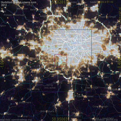
» Earth at Night: Flat Maps 2012, 2016