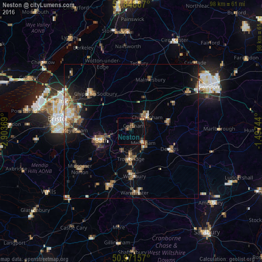
Neston night lights from space
Night Light of Neston (England) from space (United Kingdom) Src. Average luminocity for 10x10km area is 9.5728% and for 50x50km: 8.1973%.
Analysis of Neston night lights 2016
Square area 10x10 km:
 0.42%
0.42%90-99
0.14%80-89
0.98%70-79
0.98%60-69
2.52%50-59
0.28%40-49
2.24%30-39
2.94%20-29
2.1%10-19
3.08%0-9
84.31%Square area 50x50 km:
0.72%90-99
0.99%80-89
0.67%70-79
0.99%60-69
1.4%50-59
1.67%40-49
1.59%30-39
1.13%20-29
1.77%10-19
4.13%0-9
84.94%Clear (daylight) street map image can be seen on geolist.org.
Map coordinates:
51° 50' 55.2" North, 2° 54' 13.3" West
51° 24' 44" North, 2° 12' 2" West
50° 58' 17.7" North, 1° 29' 50.8" West
Some cities around Neston sort by population:
• Bath
11.9 km =7.4 mi,  249°
249°
• Trowbridge
10.4 km =6.5 mi,  183°
183°
• Chippenham
7.5 km =4.7 mi,  44°
44°
• Melksham
6.1 km =3.8 mi,  136°
136°
• Devizes
15.9 km =9.9 mi,  115°
115°
• Calne
13.8 km =8.6 mi,  77°
77°
• Corsham
2.7 km =1.7 mi,  24°
24°
• Bradford-on-Avon
8 km =5 mi,  205°
205°
3345432 (p: 15,352)
Sources (retrieved 2019-11-25):
» Earth at Night: Flat Maps 2012, 2016