Trowbridge night lights from space
Night Light of Trowbridge (England) from space (United Kingdom) Src. Average luminocity for 10x10km area is 16.2871% and for 50x50km: 7.6457%.

Analysis of Trowbridge night lights 2016
Square area 10x10 km:
 0.28%
0.28%90-99
0.28%80-89
1.12%70-79
2.8%60-69
1.96%50-59
6.16%40-49
4.48%30-39
1.68%20-29
2.8%10-19
13.31%0-9
65.13%Square area 50x50 km:
0.7%90-99
0.97%80-89
0.67%70-79
0.87%60-69
1.34%50-59
1.59%40-49
1.57%30-39
1.02%20-29
1.54%10-19
3.01%0-9
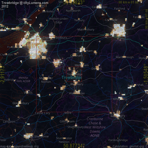
86.71%Clear (daylight) street map image can be seen on geolist.org.
Map coordinates:
51° 45' 22.4" North, 2° 54' 42.2" West
51° 19' 8" North, 2° 12' 31" West
50° 52' 38.4" North, 1° 30' 19.7" West
Some cities around Trowbridge sort by population:
• Bath
12.3 km =7.6 mi,  300°
300°
• Frome
12.8 km =8 mi,  218°
218°
• Melksham
7.7 km =4.8 mi,  38°
38°
• Warminster
12.9 km =8 mi,  170°
170°
• Westbury
6.7 km =4.2 mi, 167°
• Neston
10.4 km =6.5 mi,  3°
3°
• Corsham
12.9 km =8 mi,  7°
7°
• Bradford-on-Avon
4.3 km =2.7 mi,  317°
317°
2635427 (p: 40,952)
Sources (retrieved 2019-11-25):
» Earth at Night: Flat Maps 2012, 2016