Melksham night lights from space
Night Light of Melksham (England) from space (United Kingdom) Src. Average luminocity for 10x10km area is 11.8305% and for 50x50km: 7.1058%.
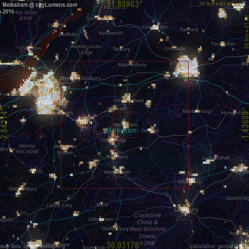
Analysis of Melksham night lights 2016
Square area 10x10 km:
 0.84%
0.84%90-99
0.28%80-89
0.42%70-79
1.68%60-69
2.94%50-59
1.96%40-49
3.5%30-39
0.28%20-29
3.36%10-19
2.52%0-9
82.21%Square area 50x50 km:
0.62%90-99
0.98%80-89
0.57%70-79
0.7%60-69
1.14%50-59
1.28%40-49
1.47%30-39
0.94%20-29
1.45%10-19
3.41%0-9
87.44%Clear (daylight) street map image can be seen on geolist.org.
Map coordinates:
51° 48' 34.7" North, 2° 50' 35.3" West
51° 22' 22.1" North, 2° 8' 24.1" West
50° 55' 54.4" North, 1° 26' 12.8" West
Some cities around Melksham sort by population:
• Trowbridge
7.7 km =4.8 mi,  218°
218°
• Chippenham
9.8 km =6.1 mi,  6°
6°
• Devizes
10.4 km =6.5 mi,  103°
103°
• Calne
11.9 km =7.4 mi,  51°
51°
• Westbury
13 km =8.1 mi,  194°
194°
• Neston
6.1 km =3.8 mi,  316°
316°
• Corsham
7.5 km =4.7 mi,  335°
335°
• Bradford-on-Avon
8.2 km =5.1 mi,  250°
250°
2642786 (p: 19,357)
Sources (retrieved 2019-11-25):
» Earth at Night: Flat Maps 2012, 2016