Bradford-on-Avon night lights from space
Night Light of Bradford-on-Avon (England) from space (United Kingdom) Src. Average luminocity for 10x10km area is 11.3683% and for 50x50km: 9.8817%.
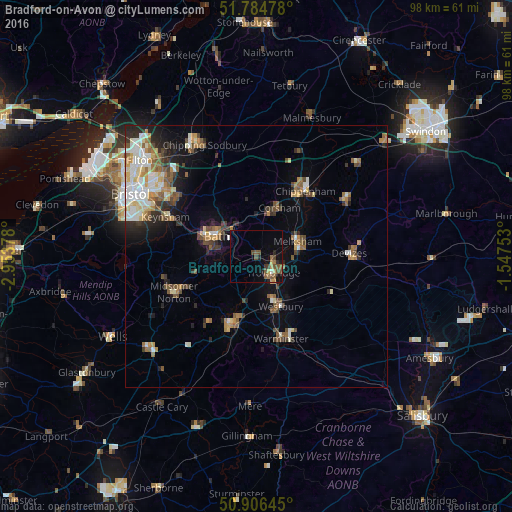
Analysis of Bradford-on-Avon night lights 2016
Square area 10x10 km:
 0.28%
0.28%90-99
0.28%80-89
1.12%70-79
1.4%60-69
1.4%50-59
4.48%40-49
3.92%30-39
1.12%20-29
2.24%10-19
3.78%0-9
79.97%Square area 50x50 km:
1.38%90-99
1.73%80-89
1.01%70-79
1.14%60-69
1.41%50-59
1.65%40-49
1.55%30-39
1.12%20-29
2.07%10-19
3.53%0-9
83.43%Clear (daylight) street map image can be seen on geolist.org.
Map coordinates:
51° 47' 5.2" North, 2° 57' 13.6" West
51° 20' 51.8" North, 2° 15' 2.3" West
50° 54' 23.2" North, 1° 32' 51.1" West
Some cities around Bradford-on-Avon sort by population:
• Bath
8.3 km =5.2 mi,  291°
291°
• Trowbridge
4.3 km =2.7 mi,  137°
137°
• Frome
14.2 km =8.8 mi,  200°
200°
• Melksham
8.2 km =5.1 mi,  70°
70°
• Westbury
10.7 km =6.6 mi,  155°
155°
• Neston
8 km =5 mi,  25°
25°
• Corsham
10.7 km =6.6 mi, 25°
• Peasedown Saint John
12.5 km =7.8 mi,  254°
254°
2654991 (p: 9,274)
Sources (retrieved 2019-11-25):
» Earth at Night: Flat Maps 2012, 2016