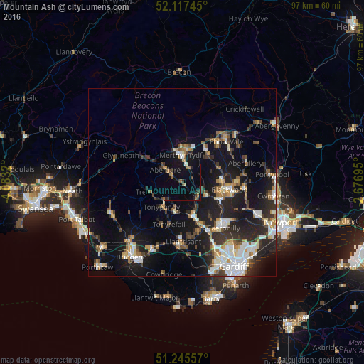
Mountain Ash night lights from space
Night Light of Mountain Ash (Wales) from space (United Kingdom) Src. Average luminocity for 10x10km area is 13.6989% and for 50x50km: 16.3931%.
Analysis of Mountain Ash night lights 2016
Square area 10x10 km:
 0%
0%90-99
0.56%80-89
0.98%70-79
1.4%60-69
2.38%50-59
2.24%40-49
1.68%30-39
4.62%20-29
2.52%10-19
13.59%0-9
70.03%Square area 50x50 km:
2.35%90-99
3.06%80-89
1.3%70-79
1.82%60-69
1.82%50-59
1.78%40-49
2.1%30-39
2.65%20-29
5.47%10-19
14.51%0-9
63.16%Clear (daylight) street map image can be seen on geolist.org.
Map coordinates:
52° 7' 2.8" North, 4° 4' 59.5" West
51° 41' 1" North, 3° 22' 48.3" West
51° 14' 44.1" North, 2° 40' 37" West
Some cities around Mountain Ash sort by population:
• Rhondda
5.5 km =3.4 mi,  239°
239°
• Merthyr Tydfil
7.2 km =4.5 mi,  1°
1°
• Aberdare
5.9 km =3.7 mi,  305°
305°
• Nelson
7.4 km =4.6 mi,  117°
117°
• Treharris
5.4 km =3.4 mi,  112°
112°
• Ferndale
5.3 km =3.3 mi, 241°
• Abercynon
5.6 km =3.5 mi,  139°
139°
• Abercanaid
4.6 km =2.9 mi,  12°
12°
2642116 (p: 11,230)
Sources (retrieved 2019-11-25):
» Earth at Night: Flat Maps 2012, 2016