Nelson night lights from space
Night Light of Nelson (Wales) from space (United Kingdom) Src. Average luminocity for 10x10km area is 26.5056% and for 50x50km: 18.7259%.
Analysis of Nelson night lights 2016
Square area 10x10 km:
 1.26%
1.26%90-99
3.22%80-89
3.36%70-79
2.66%60-69
4.48%50-59
2.94%40-49
3.92%30-39
6.3%20-29
11.06%10-19
35.85%0-9
24.93%Square area 50x50 km:
2.96%90-99
3.61%80-89
1.44%70-79
2.06%60-69
1.84%50-59
1.93%40-49
2.49%30-39
3.13%20-29
6.78%10-19
15.4%0-9
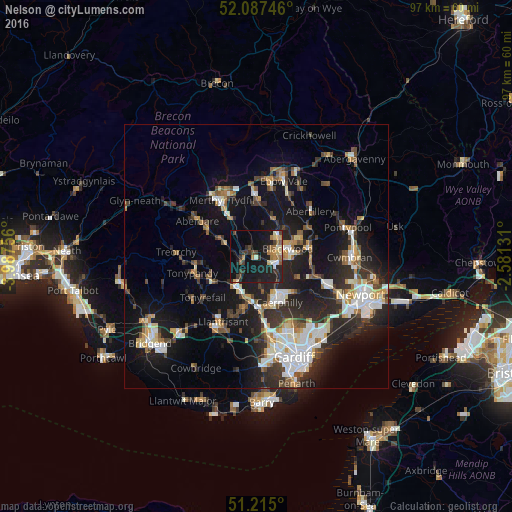
58.34%Clear (daylight) street map image can be seen on geolist.org.
Map coordinates:
52° 5' 14.9" North, 3° 59' 15.2" West
51° 39' 12" North, 3° 17' 4" West
51° 12' 54" North, 2° 34' 52.7" West
Some cities around Nelson sort by population:
• Pontypridd
6.9 km =4.3 mi,  214°
214°
• Gelligaer
2.3 km =1.4 mi,  57°
57°
• Blackwood
5.5 km =3.4 mi,  73°
73°
• Bargoed
4.9 km =3 mi,  46°
46°
• Treharris
2 km =1.2 mi,  308°
308°
• Abertridwr
6.5 km =4 mi,  170°
170°
• Abercynon
3.1 km =1.9 mi,  253°
253°
• Hengoed
3.7 km =2.3 mi,  94°
94°
2641811 (p: 12,857)
Sources (retrieved 2019-11-25):
» Earth at Night: Flat Maps 2012, 2016