Aberdare night lights from space
Night Light of Aberdare (Wales) from space (United Kingdom) Src. Average luminocity for 10x10km area is 12.7689% and for 50x50km: 13.8355%.
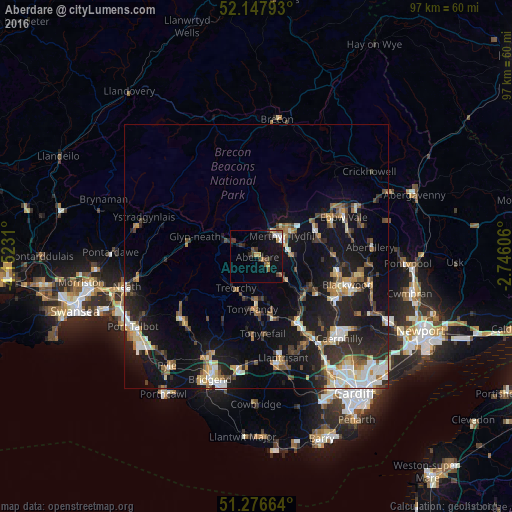
Analysis of Aberdare night lights 2016
Square area 10x10 km:
 1.4%
1.4%90-99
0.84%80-89
0.7%70-79
2.1%60-69
0.84%50-59
1.96%40-49
1.4%30-39
4.48%20-29
2.24%10-19
14.29%0-9
69.75%Square area 50x50 km:
1.76%90-99
2.24%80-89
1.22%70-79
1.75%60-69
1.59%50-59
1.63%40-49
1.84%30-39
2.23%20-29
4.42%10-19
13.33%0-9
67.99%Clear (daylight) street map image can be seen on geolist.org.
Map coordinates:
52° 8' 52.5" North, 4° 9' 8.3" West
51° 42' 51.8" North, 3° 26' 57" West
51° 16' 35.9" North, 2° 44' 45.8" West
Some cities around Aberdare sort by population:
• Rhondda
6.2 km =3.9 mi,  179°
179°
• Merthyr Tydfil
6.2 km =3.9 mi,  52°
52°
• Mountain Ash
5.9 km =3.7 mi,  125°
125°
• Treorchy
7.2 km =4.5 mi,  212°
212°
• Ferndale
6 km =3.7 mi, 178°
• Hirwaun
5 km =3.1 mi,  303°
303°
• Pentre
7.3 km =4.5 mi,  203°
203°
• Abercanaid
5.8 km =3.6 mi,  79°
79°
2657835 (p: 31,135)
Sources (retrieved 2019-11-25):
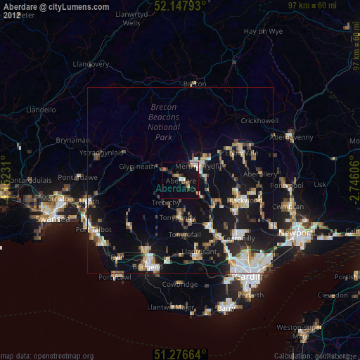
» Earth at Night: Flat Maps 2012, 2016