Merthyr Tydfil night lights from space
Night Light of Merthyr Tydfil (Wales) from space (United Kingdom) Src. Average luminocity for 10x10km area is 23.3109% and for 50x50km: 12.0798%.
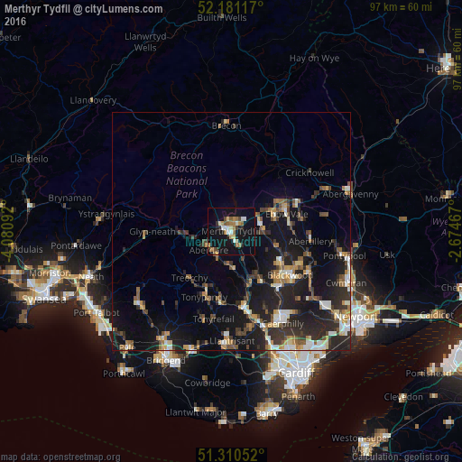
Analysis of Merthyr Tydfil night lights 2016
Square area 10x10 km:
 2.52%
2.52%90-99
3.5%80-89
1.54%70-79
3.78%60-69
4.06%50-59
2.94%40-49
2.24%30-39
1.82%20-29
2.24%10-19
35.71%0-9
39.64%Square area 50x50 km:
1.1%90-99
1.7%80-89
1%70-79
1.55%60-69
1.54%50-59
1.61%40-49
1.76%30-39
2.34%20-29
4.81%10-19
11.99%0-9
70.6%Clear (daylight) street map image can be seen on geolist.org.
Map coordinates:
52° 10' 52.2" North, 4° 4' 51.3" West
51° 44' 52.6" North, 3° 22' 40" West
51° 18' 37.9" North, 2° 40' 28.8" West
Some cities around Merthyr Tydfil sort by population:
• Aberdare
6.2 km =3.9 mi,  232°
232°
• Tredegar
9.4 km =5.8 mi,  73°
73°
• Treharris
10.5 km =6.5 mi,  152°
152°
• Mountain Ash
7.2 km =4.5 mi,  181°
181°
• Rhymney
6.5 km =4 mi,  78°
78°
• Ferndale
10.8 km =6.7 mi,  206°
206°
• Hirwaun
9.2 km =5.7 mi,  263°
263°
• Abercanaid
2.8 km =1.7 mi,  163°
163°
2642705 (p: 43,820)
Sources (retrieved 2019-11-25):
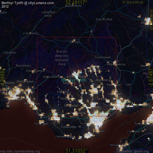
» Earth at Night: Flat Maps 2012, 2016