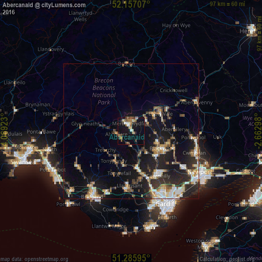
Abercanaid night lights from space
Night Light of Abercanaid (Wales) from space (United Kingdom) Src. Average luminocity for 10x10km area is 22.5238% and for 50x50km: 14.2509%.
Analysis of Abercanaid night lights 2016
Square area 10x10 km:
 2.24%
2.24%90-99
3.22%80-89
1.12%70-79
3.36%60-69
4.2%50-59
3.64%40-49
2.24%30-39
2.38%20-29
2.24%10-19
28.43%0-9
46.92%Square area 50x50 km:
1.65%90-99
2.33%80-89
1.25%70-79
1.77%60-69
1.73%50-59
1.73%40-49
2.04%30-39
2.47%20-29
5.22%10-19
12.73%0-9
67.08%Clear (daylight) street map image can be seen on geolist.org.
Map coordinates:
52° 9' 25.5" North, 4° 4' 9.2" West
51° 43' 25" North, 3° 21' 58" West
51° 17' 9.4" North, 2° 39' 46.7" West
Some cities around Abercanaid sort by population:
• Rhondda
9.2 km =5.7 mi,  218°
218°
• Merthyr Tydfil
2.8 km =1.7 mi,  343°
343°
• Aberdare
5.8 km =3.6 mi,  259°
259°
• Nelson
9.6 km =6 mi,  144°
144°
• Treharris
7.7 km =4.8 mi,  148°
148°
• Mountain Ash
4.6 km =2.9 mi,  192°
192°
• Rhymney
6.9 km =4.3 mi,  53°
53°
• Ferndale
9 km =5.6 mi, 218°
2657845 (p: 5,061)
Sources (retrieved 2019-11-25):
» Earth at Night: Flat Maps 2012, 2016