Ferndale night lights from space
Night Light of Ferndale (Wales) from space (United Kingdom) Src. Average luminocity for 10x10km area is 9.8683% and for 50x50km: 16.399%.
Analysis of Ferndale night lights 2016
Square area 10x10 km:
 0%
0%90-99
0%80-89
0.7%70-79
0.7%60-69
1.96%50-59
3.5%40-49
1.82%30-39
2.52%20-29
1.68%10-19
2.66%0-9
84.45%Square area 50x50 km:
2.42%90-99
2.96%80-89
1.34%70-79
1.82%60-69
1.78%50-59
1.8%40-49
2.09%30-39
2.67%20-29
5.15%10-19
14.76%0-9
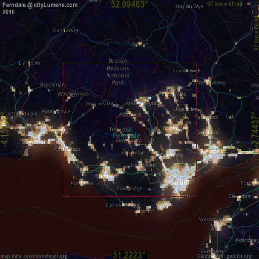
63.21%Clear (daylight) street map image can be seen on geolist.org.
Map coordinates:
52° 5' 40.7" North, 4° 9' 2.2" West
51° 39' 38" North, 3° 26' 51" West
51° 13' 20.3" North, 2° 44' 39.7" West
Some cities around Ferndale sort by population:
• Tonypandy
4.3 km =2.7 mi,  187°
187°
• Rhondda
0.2 km =0.1 mi,  207°
207°
• Aberdare
6 km =3.7 mi,  358°
358°
• Mountain Ash
5.3 km =3.3 mi,  61°
61°
• Tonyrefail
8.6 km =5.3 mi,  172°
172°
• Treorchy
4 km =2.5 mi,  268°
268°
• Abercynon
8.5 km =5.3 mi,  101°
101°
• Pentre
3.1 km =1.9 mi,  257°
257°
2649531 (p: 7,338)
Sources (retrieved 2019-11-25):
» Earth at Night: Flat Maps 2012, 2016