Midsomer Norton night lights from space
Night Light of Midsomer Norton (England) from space (United Kingdom) Src. Average luminocity for 10x10km area is 8.1261% and for 50x50km: 10.4998%.
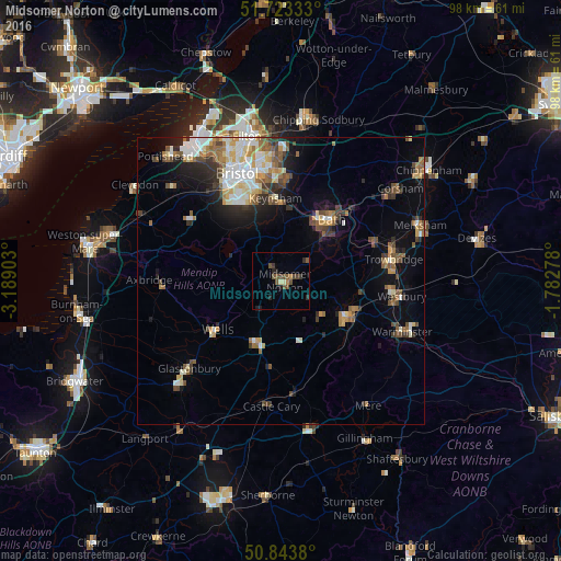
Analysis of Midsomer Norton night lights 2016
Square area 10x10 km:
 0%
0%90-99
0.84%80-89
0.28%70-79
0.42%60-69
0.7%50-59
3.36%40-49
3.78%30-39
1.4%20-29
2.1%10-19
1.68%0-9
85.43%Square area 50x50 km:
1.53%90-99
1.81%80-89
1.18%70-79
1.08%60-69
1.47%50-59
1.69%40-49
1.77%30-39
1.26%20-29
2.19%10-19
4.04%0-9
81.99%Clear (daylight) street map image can be seen on geolist.org.
Map coordinates:
51° 43' 24" North, 3° 11' 20.5" West
51° 17' 8.4" North, 2° 29' 9.3" West
50° 50' 37.7" North, 1° 46' 58" West
Some cities around Midsomer Norton sort by population:
• Mendip
11.2 km =7 mi,  241°
241°
• Bath
13.2 km =8.2 mi,  40°
40°
• Frome
13.1 km =8.1 mi,  119°
119°
• Keynsham
14.3 km =8.9 mi,  356°
356°
• Wells
14.3 km =8.9 mi,  232°
232°
• Shepton Mallet
11.5 km =7.1 mi,  201°
201°
• Peasedown Saint John
5.5 km =3.4 mi,  51°
51°
• Radstock
1.8 km =1.1 mi,  79°
79°
2642557 (p: 10,458)
Sources (retrieved 2019-11-25):
» Earth at Night: Flat Maps 2012, 2016