Keynsham night lights from space
Night Light of Keynsham (England) from space (United Kingdom) Src. Average luminocity for 10x10km area is 30.1725% and for 50x50km: 13.5722%.
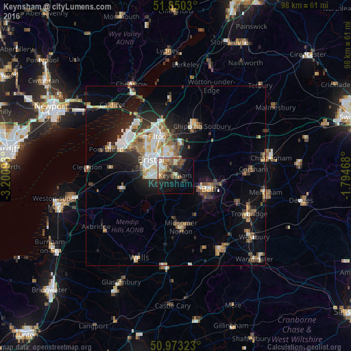
Analysis of Keynsham night lights 2016
Square area 10x10 km:
 3.61%
3.61%90-99
4.14%80-89
4.41%70-79
3.88%60-69
3.21%50-59
7.22%40-49
4.95%30-39
3.74%20-29
9.09%10-19
18.18%0-9
37.57%Square area 50x50 km:
2.04%90-99
2.51%80-89
1.29%70-79
1.48%60-69
1.71%50-59
2.05%40-49
1.88%30-39
1.77%20-29
3.44%10-19
6.73%0-9
75.09%Clear (daylight) street map image can be seen on geolist.org.
Map coordinates:
51° 51' 1.1" North, 3° 12' 3.3" West
51° 24' 49.9" North, 2° 29' 52.1" West
50° 58' 23.6" North, 1° 47' 40.8" West
Some cities around Keynsham sort by population:
• Bristol
8.3 km =5.2 mi,  303°
303°
• Bath
10.4 km =6.5 mi,  114°
114°
• Kingswood
4.4 km =2.7 mi,  350°
350°
• Mangotsfield
8.2 km =5.1 mi,  356°
356°
• Stoke Gifford
11.8 km =7.3 mi, 345°
• Bishopsworth
8.5 km =5.3 mi,  270°
270°
• Peasedown Saint John
12 km =7.5 mi,  154°
154°
• Long Ashton
11.5 km =7.1 mi,  278°
278°
2645733 (p: 15,641)
Sources (retrieved 2019-11-25):
» Earth at Night: Flat Maps 2012, 2016