Frome night lights from space
Night Light of Frome (England) from space (United Kingdom) Src. Average luminocity for 10x10km area is 9.6064% and for 50x50km: 6.6582%.
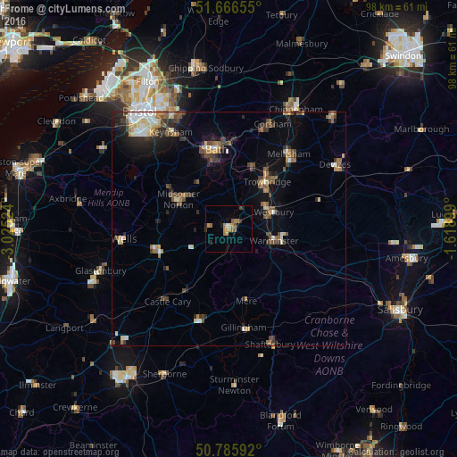
Analysis of Frome night lights 2016
Square area 10x10 km:
 0.28%
0.28%90-99
0.28%80-89
1.12%70-79
1.96%60-69
3.64%50-59
2.24%40-49
0.56%30-39
0.42%20-29
2.24%10-19
0.14%0-9
87.11%Square area 50x50 km:
0.58%90-99
0.95%80-89
0.65%70-79
0.74%60-69
0.93%50-59
1.09%40-49
1.28%30-39
1.05%20-29
1.76%10-19
2.69%0-9
88.27%Clear (daylight) street map image can be seen on geolist.org.
Map coordinates:
51° 39' 59.6" North, 3° 1' 30.9" West
51° 13' 42" North, 2° 19' 19.6" West
50° 47' 9.3" North, 1° 37' 8.4" West
Some cities around Frome sort by population:
• Trowbridge
12.8 km =8 mi,  38°
38°
• Warminster
10.3 km =6.4 mi,  104°
104°
• Westbury
10 km =6.2 mi,  69°
69°
• Midsomer Norton
13.1 km =8.1 mi,  299°
299°
• Shepton Mallet
16.3 km =10.1 mi,  254°
254°
• Bradford-on-Avon
14.2 km =8.8 mi,  20°
20°
• Peasedown Saint John
12.1 km =7.5 mi,  324°
324°
• Radstock
11.7 km =7.3 mi, 304°
2649024 (p: 26,203)
Sources (retrieved 2019-11-25):
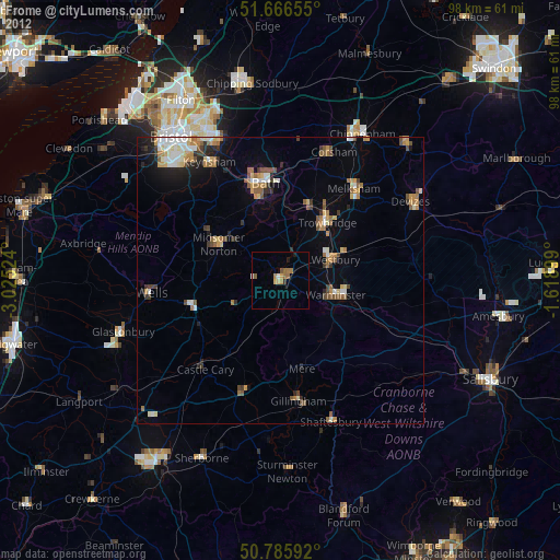
» Earth at Night: Flat Maps 2012, 2016