Tredegar night lights from space
Night Light of Tredegar (Wales) from space (United Kingdom) Src. Average luminocity for 10x10km area is 24.1527% and for 50x50km: 11.8932%.
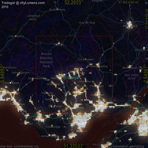
Analysis of Tredegar night lights 2016
Square area 10x10 km:
 0.84%
0.84%90-99
2.66%80-89
1.82%70-79
3.36%60-69
4.34%50-59
3.92%40-49
5.6%30-39
5.46%20-29
1.96%10-19
40.76%0-9
29.27%Square area 50x50 km:
1.29%90-99
1.85%80-89
0.93%70-79
1.39%60-69
1.41%50-59
1.47%40-49
1.76%30-39
2.28%20-29
4.81%10-19
11.64%0-9
71.18%Clear (daylight) street map image can be seen on geolist.org.
Map coordinates:
52° 12' 19.8" North, 3° 56' 59.7" West
51° 46' 21" North, 3° 14' 48.4" West
51° 20' 7.2" North, 2° 32' 37.2" West
Some cities around Tredegar sort by population:
• Merthyr Tydfil
9.4 km =5.8 mi,  253°
253°
• Ebbw Vale
2.7 km =1.7 mi,  79°
79°
• Brynmawr
5.3 km =3.3 mi,  54°
54°
• Bargoed
10 km =6.2 mi,  174°
174°
• Abertillery
9.1 km =5.7 mi,  121°
121°
• Rhymney
3 km =1.9 mi,  242°
242°
• Victoria
4.1 km =2.5 mi,  127°
127°
• Abercanaid
9.9 km =6.2 mi, 236°
2635547 (p: 14,855)
Sources (retrieved 2019-11-25):
» Earth at Night: Flat Maps 2012, 2016