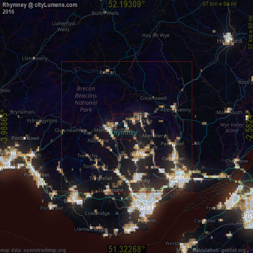
Rhymney night lights from space
Night Light of Rhymney (Wales) from space (United Kingdom) Src. Average luminocity for 10x10km area is 21.4258% and for 50x50km: 12.5946%.
Analysis of Rhymney night lights 2016
Square area 10x10 km:
 1.12%
1.12%90-99
1.68%80-89
0.7%70-79
3.5%60-69
4.2%50-59
3.08%40-49
4.06%30-39
3.78%20-29
2.1%10-19
39.08%0-9
36.69%Square area 50x50 km:
1.33%90-99
1.94%80-89
1.02%70-79
1.49%60-69
1.48%50-59
1.59%40-49
1.9%30-39
2.52%20-29
5.17%10-19
11.88%0-9
69.68%Clear (daylight) street map image can be seen on geolist.org.
Map coordinates:
52° 11' 35.1" North, 3° 59' 19.1" West
51° 45' 35.9" North, 3° 17' 7.9" West
51° 19' 21.6" North, 2° 34' 56.6" West
Some cities around Rhymney sort by population:
• Merthyr Tydfil
6.5 km =4 mi,  258°
258°
• Ebbw Vale
5.7 km =3.5 mi,  70°
70°
• Brynmawr
8.3 km =5.2 mi,  57°
57°
• Tredegar
3 km =1.9 mi, 62°
• Bargoed
9.3 km =5.8 mi,  157°
157°
• Treharris
10.7 km =6.6 mi,  188°
188°
• Victoria
6 km =3.7 mi,  100°
100°
• Abercanaid
6.9 km =4.3 mi,  233°
233°
2639407 (p: 8,537)
Sources (retrieved 2019-11-25):
» Earth at Night: Flat Maps 2012, 2016