Mansfield night lights from space
Night Light of Mansfield (England) from space (United Kingdom) Src. Average luminocity for 10x10km area is 60.4773% and for 50x50km: 26.3036%.
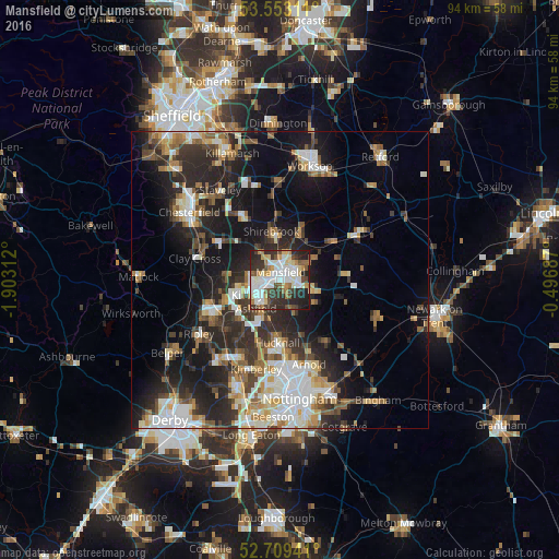
Analysis of Mansfield night lights 2016
Square area 10x10 km:
 13.64%
90-99
17.3%80-89
6.57%70-79
6.31%60-69
5.81%50-59
5.68%40-49
6.57%30-39
12.75%20-29
19.7%10-19
5.68%0-9
0%Square area 50x50 km:
4.53%90-99
5.25%80-89
2.64%70-79
2.38%60-69
3.46%50-59
3.67%40-49
3.23%30-39
4.56%20-29
9.47%10-19
14.56%0-9
46.25%Clear (daylight) street map image can be seen on geolist.org.
Map coordinates:
53° 33' 11.2" North, 1° 54' 11.2" West
53° 7' 60" North, 1° 12' 0" West
52° 42' 33.9" North, 0° 29' 48.7" West
Some cities around Mansfield sort by population:
• Sutton in Ashfield
4.2 km =2.6 mi,  257°
257°
• Kirkby in Ashfield
4.7 km =2.9 mi,  218°
218°
• Pinxton
9.2 km =5.7 mi,  238°
238°
• Shirebrook
7.8 km =4.8 mi,  353°
353°
• Warsop
9.5 km =5.9 mi,  20°
20°
• Market Warsop
8.6 km =5.3 mi, 21°
• Rainworth
5.7 km =3.5 mi,  106°
106°
• Ravenshead
5.8 km =3.6 mi,  153°
153°
2643097 (p: 171,958)
Sources (retrieved 2019-11-25):
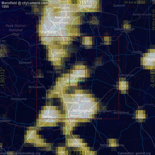
» NASA, Earths city lights 1995
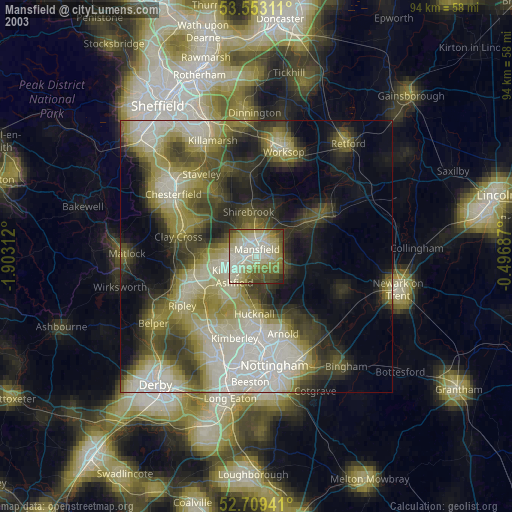
» NASA city lights 2003
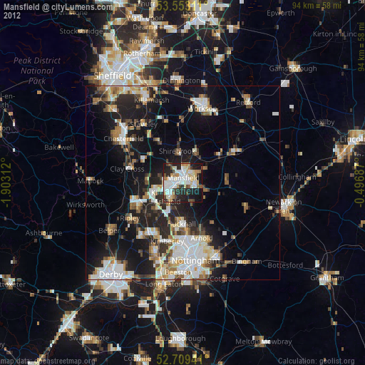
» Earth at Night: Flat Maps 2012, 2016