Maldon night lights from space
Night Light of Maldon (England) from space (United Kingdom) Src. Average luminocity for 10x10km area is 6.1723% and for 50x50km: 12.3767%.
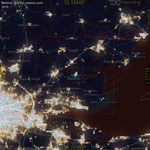
Analysis of Maldon night lights 2016
Square area 10x10 km:
 0.84%
0.84%90-99
0.98%80-89
0.98%70-79
0%60-69
0%50-59
0.84%40-49
0.84%30-39
0.84%20-29
0.7%10-19
0.98%0-9
93%Square area 50x50 km:
1.25%90-99
1.66%80-89
1.25%70-79
1.29%60-69
1.62%50-59
1.87%40-49
2.51%30-39
2.87%20-29
4.67%10-19
8.27%0-9
72.73%Clear (daylight) street map image can be seen on geolist.org.
Map coordinates:
52° 9' 52.2" North, 0° 1' 42.6" West
51° 43' 52" North, 0° 40' 28.7" East
51° 17' 36.7" North, 1° 22' 39.9" East
Some cities around Maldon sort by population:
• Chelmsford
14.1 km =8.8 mi,  272°
272°
• Rayleigh
16.9 km =10.5 mi,  196°
196°
• Witham
8 km =5 mi,  342°
342°
• Rochford
16.7 km =10.4 mi,  172°
172°
• Tiptree
10.3 km =6.4 mi,  28°
28°
• Burnham-on-Crouch
14.6 km =9.1 mi,  138°
138°
• Danbury
6.6 km =4.1 mi,  255°
255°
• Kelvedon
12.3 km =7.6 mi,  10°
10°
2643160 (p: 21,462)
Sources (retrieved 2019-11-25):
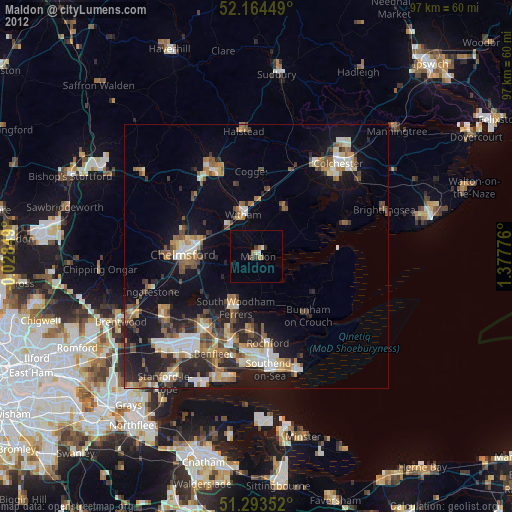
» Earth at Night: Flat Maps 2012, 2016