Danbury night lights from space
Night Light of Danbury (England) from space (United Kingdom) Src. Average luminocity for 10x10km area is 4.3207% and for 50x50km: 16.0921%.
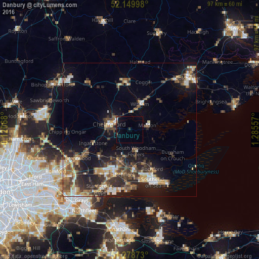
Analysis of Danbury night lights 2016
Square area 10x10 km:
 0.28%
0.28%90-99
0.28%80-89
0%70-79
0.56%60-69
0%50-59
0.84%40-49
0%30-39
0.56%20-29
0.84%10-19
4.76%0-9
91.88%Square area 50x50 km:
1.78%90-99
2.38%80-89
1.82%70-79
1.76%60-69
2.29%50-59
2.54%40-49
3.16%30-39
3.15%20-29
5.51%10-19
9.87%0-9
65.74%Clear (daylight) street map image can be seen on geolist.org.
Map coordinates:
52° 8' 59.9" North, 0° 7' 14.4" West
51° 42' 59.2" North, 0° 34' 56.8" East
51° 16' 43.4" North, 1° 17' 8.1" East
Some cities around Danbury sort by population:
• Chelmsford
8.1 km =5 mi,  285°
285°
• Billericay
14.9 km =9.3 mi,  228°
228°
• Wickford
12.4 km =7.7 mi,  199°
199°
• Rayleigh
14.6 km =9.1 mi,  174°
174°
• Witham
10.1 km =6.3 mi,  23°
23°
• Maldon
6.6 km =4.1 mi,  75°
75°
• Tiptree
15.5 km =9.6 mi,  46°
46°
• Ingatestone
14.6 km =9.1 mi,  249°
249°
2651532 (p: 6,673)
Sources (retrieved 2019-11-25):
» Earth at Night: Flat Maps 2012, 2016