Rayleigh night lights from space
Night Light of Rayleigh (England) from space (United Kingdom) Src. Average luminocity for 10x10km area is 42.0441% and for 50x50km: 21.2765%.
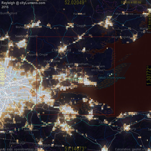
Analysis of Rayleigh night lights 2016
Square area 10x10 km:
 1.07%
1.07%90-99
4.81%80-89
4.68%70-79
5.75%60-69
5.75%50-59
8.29%40-49
13.1%30-39
19.65%20-29
20.05%10-19
15.91%0-9
0.94%Square area 50x50 km:
3.14%90-99
3.93%80-89
2.22%70-79
2.27%60-69
2.52%50-59
2.5%40-49
3.46%30-39
3.67%20-29
7.91%10-19
14.66%0-9
53.73%Clear (daylight) street map image can be seen on geolist.org.
Map coordinates:
52° 1' 13.8" North, 0° 5' 54.7" West
51° 35' 8.6" North, 0° 36' 16.5" East
51° 8' 48.2" North, 1° 18' 27.8" East
Some cities around Rayleigh sort by population:
• Southend-on-Sea
9.3 km =5.8 mi,  125°
125°
• Basildon
10.3 km =6.4 mi,  259°
259°
• South Benfleet
4.8 km =3 mi,  220°
220°
• Canvey Island
7.3 km =4.5 mi,  193°
193°
• Wickford
6.3 km =3.9 mi,  296°
296°
• Pitsea
7.1 km =4.4 mi,  249°
249°
• Hadleigh
3.7 km =2.3 mi,  174°
174°
• Rochford
7.1 km =4.4 mi,  93°
93°
2639583 (p: 30,196)
Sources (retrieved 2019-11-25):
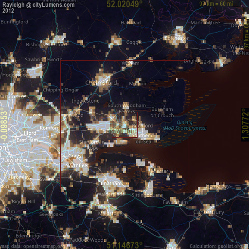
» Earth at Night: Flat Maps 2012, 2016