Chelmsford night lights from space
Night Light of Chelmsford (England) from space (United Kingdom) Src. Average luminocity for 10x10km area is 24.4132% and for 50x50km: 18.6406%.
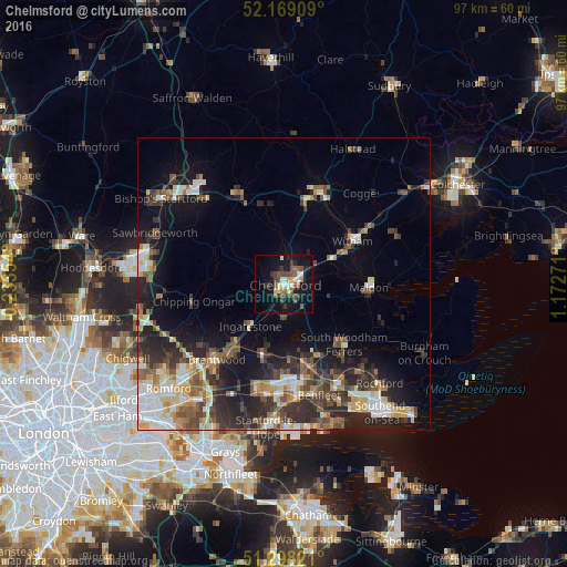
Analysis of Chelmsford night lights 2016
Square area 10x10 km:
 2.94%
2.94%90-99
3.78%80-89
1.68%70-79
2.1%60-69
2.38%50-59
4.06%40-49
8.4%30-39
4.2%20-29
3.22%10-19
26.89%0-9
40.34%Square area 50x50 km:
2.55%90-99
3.06%80-89
2.12%70-79
2.09%60-69
2.21%50-59
2.83%40-49
3.36%30-39
3.7%20-29
6.07%10-19
9.93%0-9
62.09%Clear (daylight) street map image can be seen on geolist.org.
Map coordinates:
52° 10' 8.7" North, 0° 14' 0.7" West
51° 44' 8.7" North, 0° 28' 10.5" East
51° 17' 53.6" North, 1° 10' 21.8" East
Some cities around Chelmsford sort by population:
• Braintree
16.8 km =10.4 mi,  19°
19°
• Billericay
12.4 km =7.7 mi,  196°
196°
• Wickford
14.4 km =8.9 mi,  165°
165°
• Witham
13.8 km =8.6 mi,  58°
58°
• Maldon
14.1 km =8.8 mi,  92°
92°
• Danbury
8.1 km =5 mi,  105°
105°
• Chipping Ongar
15.8 km =9.8 mi,  257°
257°
• Ingatestone
9.4 km =5.8 mi,  219°
219°
2653266 (p: 111,511)
Sources (retrieved 2019-11-25):
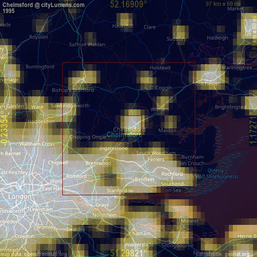
» NASA, Earths city lights 1995
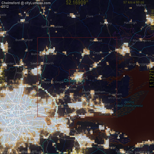
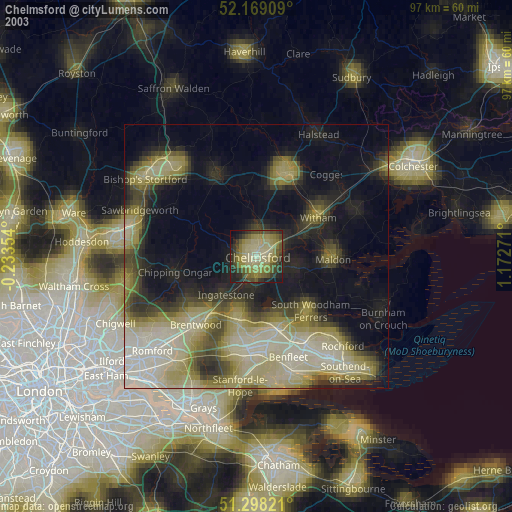
» NASA city lights 2003
» Earth at Night: Flat Maps 2012, 2016