Long Eaton night lights from space
Night Light of Long Eaton (England) from space (United Kingdom) Src. Average luminocity for 10x10km area is 57.2096% and for 50x50km: 27.4285%.
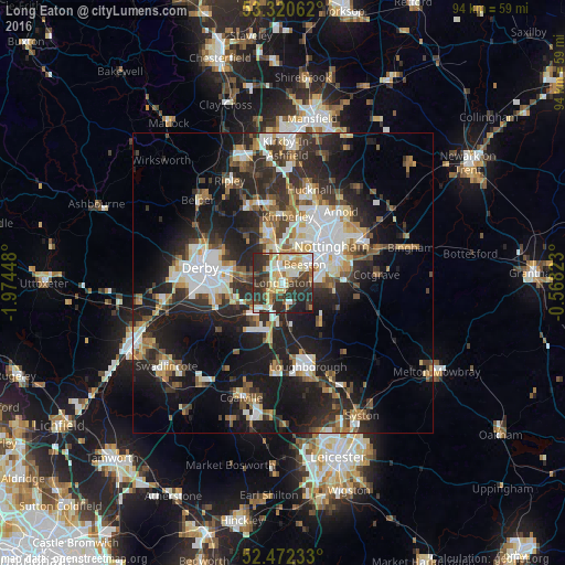
Analysis of Long Eaton night lights 2016
Square area 10x10 km:
 7.83%
7.83%90-99
16.04%80-89
9.34%70-79
7.95%60-69
6.06%50-59
1.52%40-49
8.46%30-39
16.79%20-29
21.97%10-19
4.04%0-9
0%Square area 50x50 km:
4.81%90-99
5.19%80-89
2.65%70-79
2.6%60-69
3.37%50-59
3.44%40-49
3.6%30-39
4.95%20-29
10.64%10-19
17.94%0-9
40.79%Clear (daylight) street map image can be seen on geolist.org.
Map coordinates:
53° 19' 14.2" North, 1° 58' 28.1" West
52° 53' 54.8" North, 1° 16' 16.9" West
52° 28' 20.4" North, 0° 34' 5.6" West
Some cities around Long Eaton sort by population:
• Ilkeston
8.4 km =5.2 mi,  342°
342°
• Basford
9.6 km =6 mi,  37°
37°
• Kimberley
9.4 km =5.8 mi,  1°
1°
• Castle Donington
7.8 km =4.8 mi,  217°
217°
• Ruddington
8.2 km =5.1 mi,  94°
94°
• East Leake
9.7 km =6 mi,  141°
141°
• West Hallam
9.9 km =6.2 mi,  324°
324°
• Borrowash
7.6 km =4.7 mi,  276°
276°
2643697 (p: 47,898)
Sources (retrieved 2019-11-25):
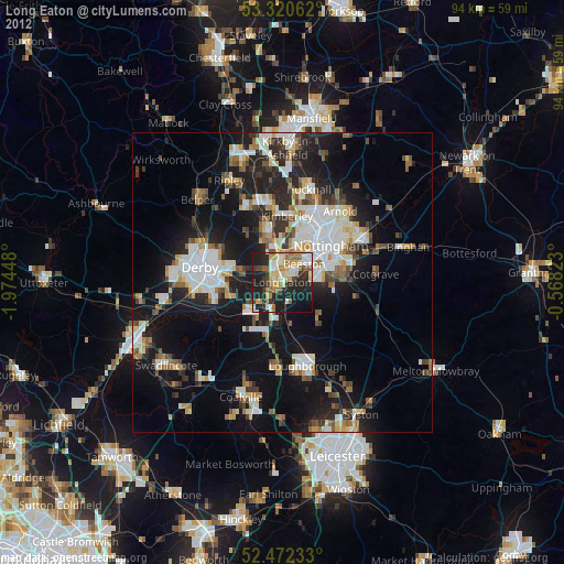
» Earth at Night: Flat Maps 2012, 2016