Liverpool night lights from space
Night Light of Liverpool (England) from space (United Kingdom) Src. Average luminocity for 10x10km area is 94.8492% and for 50x50km: 34.5901%.
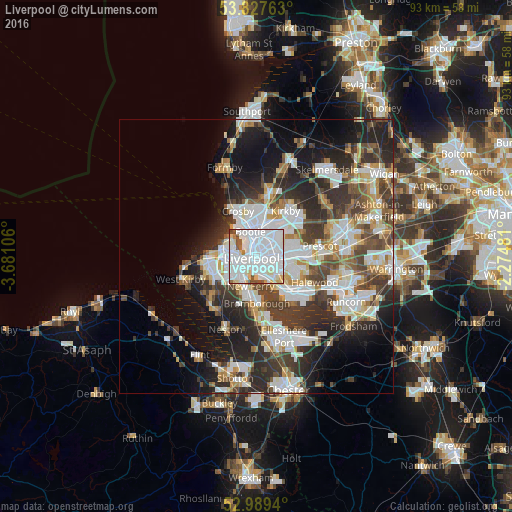

Analysis of Liverpool night lights 2016
Square area 10x10 km:
 59.26%
90-99
26.32%80-89
5.56%70-79
1.46%60-69
2.12%50-59
3.7%40-49
1.19%30-39
0.4%20-29
0%10-19
0%0-9
0%Square area 50x50 km:
9.11%90-99
8%80-89
3.06%70-79
2.91%60-69
3.32%50-59
3.36%40-49
5.08%30-39
6.43%20-29
9.42%10-19
11.16%0-9
38.15%Clear (daylight) street map image can be seen on geolist.org.
Map coordinates:
53° 49' 39.5" North, 3° 40' 51.8" West
53° 24' 38.1" North, 2° 58' 40.6" West
52° 59' 21.8" North, 2° 16' 29.3" West
Some cities around Liverpool sort by population:
• Birkenhead
3.1 km =1.9 mi,  231°
231°
• Wallasey
5.9 km =3.7 mi,  283°
283°
• Bootle
6.7 km =4.2 mi,  337°
337°
• Litherland
6.7 km =4.2 mi,  348°
348°
• Bebington
7.2 km =4.5 mi,  200°
200°
• Bromborough
6.9 km =4.3 mi,  180°
180°
• Prenton
7 km =4.3 mi, 226°
• New Ferry
5.7 km =3.5 mi,  190°
190°
2644210 (p: 864,122)
Sources (retrieved 2019-11-25):
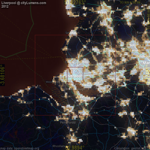
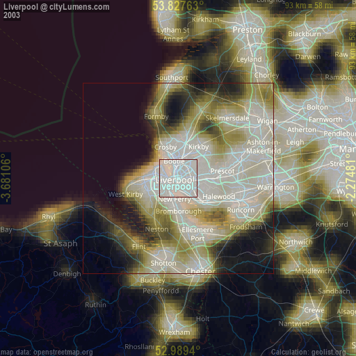
» NASA, Earths city lights 1995
» NASA city lights 2003
» Earth at Night: Flat Maps 2012, 2016