Bootle night lights from space
Night Light of Bootle (England) from space (United Kingdom) Src. Average luminocity for 10x10km area is 71.0304% and for 50x50km: 31.4642%.
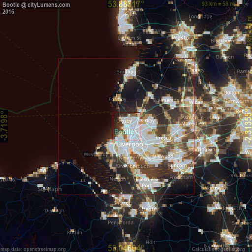
Analysis of Bootle night lights 2016
Square area 10x10 km:
 37.04%
90-99
17.06%80-89
3.97%70-79
1.06%60-69
2.12%50-59
6.48%40-49
3.44%30-39
9.66%20-29
8.99%10-19
7.8%0-9
2.38%Square area 50x50 km:
8.5%90-99
7.52%80-89
2.72%70-79
2.54%60-69
3.04%50-59
2.98%40-49
4.38%30-39
5.25%20-29
7.96%10-19
10.96%0-9
44.15%Clear (daylight) street map image can be seen on geolist.org.
Map coordinates:
53° 52' 59.4" North, 3° 43' 11.3" West
53° 28' 0" North, 3° 1' 0" West
53° 2' 45.7" North, 2° 18' 48.8" West
Some cities around Bootle sort by population:
• Liverpool
6.7 km =4.2 mi,  157°
157°
• Birkenhead
8.2 km =5.1 mi,  179°
179°
• Wallasey
5.8 km =3.6 mi,  213°
213°
• Crosby
1.7 km =1.1 mi,  318°
318°
• Kirkby
8.4 km =5.2 mi,  78°
78°
• Maghull
7.4 km =4.6 mi,  42°
42°
• Litherland
1.3 km =0.8 mi,  73°
73°
• Moreton
9.9 km =6.2 mi,  221°
221°
2655198 (p: 57,791)
Sources (retrieved 2019-11-25):
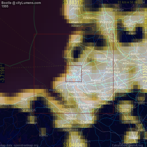
» NASA, Earths city lights 1995
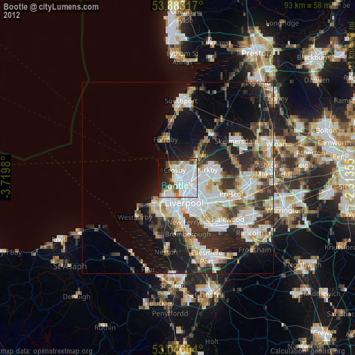
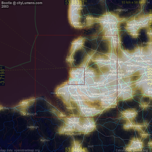
» NASA city lights 2003
» Earth at Night: Flat Maps 2012, 2016