Wallasey night lights from space
Night Light of Wallasey (England) from space (United Kingdom) Src. Average luminocity for 10x10km area is 69.4735% and for 50x50km: 29.377%.
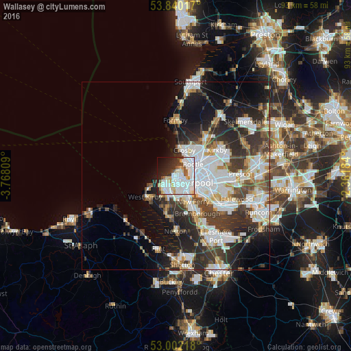
Analysis of Wallasey night lights 2016
Square area 10x10 km:
 29.23%
90-99
22.62%80-89
5.69%70-79
2.51%60-69
3.7%50-59
3.44%40-49
2.51%30-39
6.08%20-29
10.71%10-19
9.26%0-9
4.23%Square area 50x50 km:
8.25%90-99
6.95%80-89
2.31%70-79
2.21%60-69
2.64%50-59
2.64%40-49
3.75%30-39
5.49%20-29
7.91%10-19
10.29%0-9
47.56%Clear (daylight) street map image can be seen on geolist.org.
Map coordinates:
53° 50' 24.6" North, 3° 46' 5.1" West
53° 25' 23.7" North, 3° 3' 53.9" West
53° 0' 7.8" North, 2° 21' 42.6" West
Some cities around Wallasey sort by population:
• Liverpool
5.9 km =3.7 mi,  103°
103°
• Birkenhead
4.7 km =2.9 mi,  134°
134°
• Bootle
5.8 km =3.6 mi,  33°
33°
• Crosby
6.4 km =4 mi,  19°
19°
• Litherland
6.8 km =4.2 mi,  40°
40°
• Moreton
4.3 km =2.7 mi,  232°
232°
• Prenton
6.2 km =3.9 mi,  173°
173°
• Greasby
6.8 km =4.2 mi,  214°
214°
2634873 (p: 58,794)
Sources (retrieved 2019-11-25):
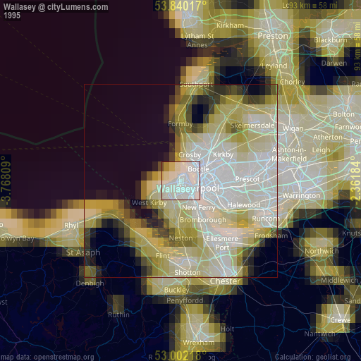
» NASA, Earths city lights 1995
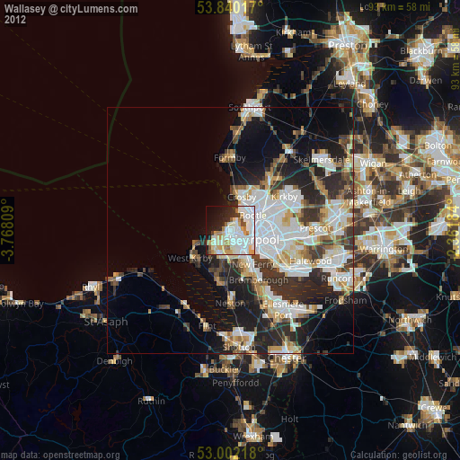
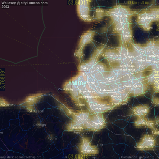
» NASA city lights 2003
» Earth at Night: Flat Maps 2012, 2016