Litherland night lights from space
Night Light of Litherland (England) from space (United Kingdom) Src. Average luminocity for 10x10km area is 77.5516% and for 50x50km: 32.7543%.
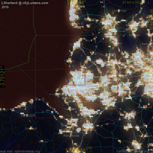
Analysis of Litherland night lights 2016
Square area 10x10 km:
 40.34%
90-99
18.39%80-89
4.89%70-79
2.65%60-69
2.78%50-59
8.33%40-49
3.44%30-39
8.99%20-29
6.75%10-19
3.44%0-9
0%Square area 50x50 km:
8.76%90-99
7.85%80-89
2.86%70-79
2.67%60-69
3.18%50-59
3.17%40-49
4.66%30-39
5.43%20-29
8.29%10-19
11.24%0-9
41.89%Clear (daylight) street map image can be seen on geolist.org.
Map coordinates:
53° 53' 11" North, 3° 42' 4.4" West
53° 28' 11.7" North, 2° 59' 53.1" West
53° 2' 57.6" North, 2° 17' 41.9" West
Some cities around Litherland sort by population:
• Liverpool
6.7 km =4.2 mi,  168°
168°
• Birkenhead
8.6 km =5.3 mi,  187°
187°
• Wallasey
6.8 km =4.2 mi,  220°
220°
• Bootle
1.3 km =0.8 mi,  253°
253°
• Crosby
2.5 km =1.6 mi,  290°
290°
• Kirkby
7.1 km =4.4 mi,  79°
79°
• Maghull
6.4 km =4 mi,  36°
36°
• Formby
10.9 km =6.8 mi,  334°
334°
2644386 (p: 22,971)
Sources (retrieved 2019-11-25):
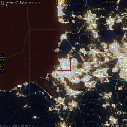
» Earth at Night: Flat Maps 2012, 2016