Formby night lights from space
Night Light of Formby (England) from space (United Kingdom) Src. Average luminocity for 10x10km area is 15.5694% and for 50x50km: 25.0494%.
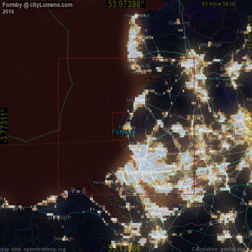
Analysis of Formby night lights 2016
Square area 10x10 km:
 0%
0%90-99
1.26%80-89
1.89%70-79
2.9%60-69
3.54%50-59
0.76%40-49
1.26%30-39
1.01%20-29
5.43%10-19
34.72%0-9
47.22%Square area 50x50 km:
7.18%90-99
6.09%80-89
2.03%70-79
1.84%60-69
2.5%50-59
2.36%40-49
3.17%30-39
3.43%20-29
5.12%10-19
10.43%0-9
55.84%Clear (daylight) street map image can be seen on geolist.org.
Map coordinates:
53° 58' 26.3" North, 3° 46' 23.2" West
53° 33' 30.2" North, 3° 4' 12" West
53° 8' 19.2" North, 2° 22' 0.7" West
Some cities around Formby sort by population:
• Southport
10.5 km =6.5 mi,  22°
22°
• Wallasey
15 km =9.3 mi,  178°
178°
• Bootle
10.8 km =6.7 mi,  160°
160°
• Crosby
9.3 km =5.8 mi, 164°
• Kirkby
14.5 km =9 mi,  126°
126°
• Maghull
9.7 km =6 mi,  118°
118°
• Ormskirk
12.5 km =7.8 mi,  85°
85°
• Litherland
10.9 km =6.8 mi,  154°
154°
2649198 (p: 23,329)
Sources (retrieved 2019-11-25):
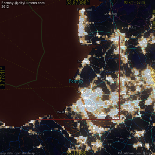
» Earth at Night: Flat Maps 2012, 2016