Lerwick night lights from space
Night Light of Lerwick (Scotland) from space (United Kingdom) Src. Average luminocity for 10x10km area is 5.8843% and for 50x50km: 0.2929%.
Analysis of Lerwick night lights 2016
Square area 10x10 km:
 1.14%
1.14%90-99
1.03%80-89
0.72%70-79
1.03%60-69
0.41%50-59
0.31%40-49
0.83%30-39
0.72%20-29
0%10-19
0%0-9
93.8%Square area 50x50 km:
0.05%90-99
0.06%80-89
0.03%70-79
0.04%60-69
0.02%50-59
0.05%40-49
0.03%30-39
0.05%20-29
0%10-19
0%0-9
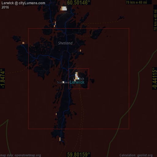
99.68%Clear (daylight) street map image can be seen on geolist.org.
Map coordinates:
60° 30' 5.3" North, 1° 50' 50.6" West
60° 9' 12.2" North, 1° 8' 39.4" West
59° 48' 5.7" North, 0° 26' 28.1" West
Some cities around Lerwick sort by population:
• Orkney
165.3 km =102.7 mi,  218°
218°
• Peterhead
296.7 km =184.4 mi,  187°
187°
• Fraserburgh
278.7 km =173.2 mi, 190°
• Buckie
294.6 km =183.1 mi,  200°
200°
• Thurso
219.8 km =136.6 mi, 217°
• Lossiemouth
296.9 km =184.5 mi, 204°
• Kirkwall
165.3 km =102.7 mi, 218°
• Wick
220.4 km =137 mi,  210°
210°
2644605 (p: 7,040)
Sources (retrieved 2019-11-25):
» Earth at Night: Flat Maps 2012, 2016