Wick night lights from space
Night Light of Wick (Scotland) from space (United Kingdom) Src. Average luminocity for 10x10km area is 4.5839% and for 50x50km: 0.2652%.
Analysis of Wick night lights 2016
Square area 10x10 km:
 0.23%
0.23%90-99
0.23%80-89
1.02%70-79
0.79%60-69
0.91%50-59
0.91%40-49
0.34%30-39
1.47%20-29
0.45%10-19
0%0-9
93.65%Square area 50x50 km:
0.01%90-99
0.03%80-89
0.06%70-79
0.03%60-69
0.04%50-59
0.09%40-49
0.01%30-39
0.06%20-29
0.04%10-19
0%0-9
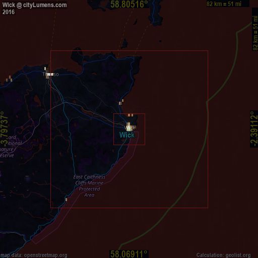
99.64%Clear (daylight) street map image can be seen on geolist.org.
Map coordinates:
58° 48' 18.6" North, 3° 47' 50.5" West
58° 26' 20.6" North, 3° 5' 39.3" West
58° 4' 8.8" North, 2° 23' 28" West
Some cities around Wick sort by population:
• Elgin
88.8 km =55.2 mi,  188°
188°
• Orkney
61.2 km =38 mi,  7°
7°
• Fraserburgh
104.8 km =65.1 mi,  142°
142°
• Forres
97.3 km =60.5 mi,  198°
198°
• Buckie
85.2 km =52.9 mi,  174°
174°
• Thurso
30.3 km =18.8 mi,  304°
304°
• Lossiemouth
80.6 km =50.1 mi, 187°
• Kirkwall
61.2 km =38 mi, 7°
2633982 (p: 7,140)
Sources (retrieved 2019-11-25):
» Earth at Night: Flat Maps 2012, 2016