Thurso night lights from space
Night Light of Thurso (Scotland) from space (United Kingdom) Src. Average luminocity for 10x10km area is 3.2219% and for 50x50km: 0.2645%.
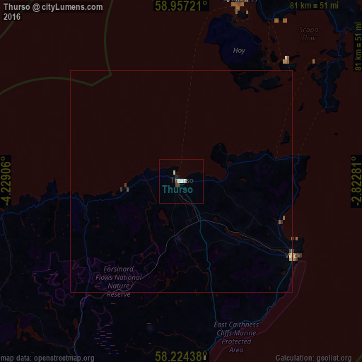
Analysis of Thurso night lights 2016
Square area 10x10 km:
 0.43%
0.43%90-99
0.87%80-89
0.87%70-79
0%60-69
0%50-59
0%40-49
0.87%30-39
0.43%20-29
0.43%10-19
0.32%0-9
95.78%Square area 50x50 km:
0.02%90-99
0.04%80-89
0.07%70-79
0.02%60-69
0%50-59
0.04%40-49
0.06%30-39
0.06%20-29
0.04%10-19
0.01%0-9
99.63%Clear (daylight) street map image can be seen on geolist.org.
Map coordinates:
58° 57' 26" North, 4° 13' 44.6" West
58° 35' 33.8" North, 3° 31' 33.4" West
58° 13' 27.8" North, 2° 49' 22.1" West
Some cities around Thurso sort by population:
• Elgin
105.6 km =65.6 mi,  173°
173°
• Orkney
54.4 km =33.8 mi,  36°
36°
• Forres
109.4 km =68 mi,  182°
182°
• Buckie
107.2 km =66.6 mi,  162°
162°
• Lossiemouth
97.9 km =60.8 mi, 171°
• Kirkwall
54.5 km =33.9 mi, 36°
• Wick
30.3 km =18.8 mi,  124°
124°
• Alness
108.5 km =67.4 mi,  203°
203°
2635881 (p: 7,760)
Sources (retrieved 2019-11-25):
» Earth at Night: Flat Maps 2012, 2016