Peterhead night lights from space
Night Light of Peterhead (Scotland) from space (United Kingdom) Src. Average luminocity for 10x10km area is 11.1976% and for 50x50km: 0.8108%.
Analysis of Peterhead night lights 2016
Square area 10x10 km:
 2.74%
2.74%90-99
2.02%80-89
0%70-79
1.9%60-69
0%50-59
0.71%40-49
1.67%30-39
1.9%20-29
1.19%10-19
2.98%0-9
84.88%Square area 50x50 km:
0.15%90-99
0.09%80-89
0%70-79
0.22%60-69
0.06%50-59
0.07%40-49
0.13%30-39
0.16%20-29
0.09%10-19
0.17%0-9
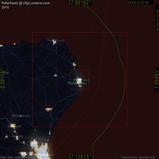
98.86%Clear (daylight) street map image can be seen on geolist.org.
Map coordinates:
57° 52' 53.8" North, 2° 30' 4.2" West
57° 30' 18.6" North, 1° 47' 3.7" West
57° 7' 34.1" North, 1° 5' 41.7" West
Some cities around Peterhead sort by population:
• Aberdeen
44.4 km =27.6 mi,  205°
205°
• Fraserburgh
24.6 km =15.3 mi,  325°
325°
• Inverurie
43.2 km =26.8 mi,  235°
235°
• Westhill
49.2 km =30.6 mi,  217°
217°
• Ellon
23.3 km =14.5 mi,  227°
227°
• Cove
48.5 km =30.1 mi,  201°
201°
• Dyce
40.8 km =25.4 mi, 215°
• Turriff
40.5 km =25.2 mi,  275°
275°
2640351 (p: 18,450)
Sources (retrieved 2019-11-25):
» Earth at Night: Flat Maps 2012, 2016