Fraserburgh night lights from space
Night Light of Fraserburgh (Scotland) from space (United Kingdom) Src. Average luminocity for 10x10km area is 2.8739% and for 50x50km: 0.6942%.
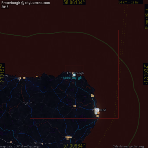
Analysis of Fraserburgh night lights 2016
Square area 10x10 km:
 1.02%
1.02%90-99
0.34%80-89
0%70-79
0.45%60-69
0.45%50-59
0%40-49
0%30-39
0.45%20-29
0.91%10-19
0.8%0-9
95.57%Square area 50x50 km:
0.15%90-99
0.09%80-89
0%70-79
0.18%60-69
0.07%50-59
0.03%40-49
0.1%30-39
0.11%20-29
0.09%10-19
0.17%0-9
99.02%Clear (daylight) street map image can be seen on geolist.org.
Map coordinates:
58° 3' 40.8" North, 2° 43' 17.7" West
57° 41' 14.8" North, 2° 1' 6.4" West
57° 18' 34.7" North, 1° 18' 55.2" West
Some cities around Fraserburgh sort by population:
• Aberdeen
60.6 km =37.7 mi,  184°
184°
• Peterhead
24.6 km =15.3 mi,  145°
145°
• Inverurie
49.7 km =30.9 mi,  205°
205°
• Westhill
61.5 km =38.2 mi,  194°
194°
• Ellon
36.1 km =22.4 mi, 185°
• Buckie
56.1 km =34.9 mi,  268°
268°
• Dyce
54.4 km =33.8 mi, 190°
• Turriff
31 km =19.3 mi,  237°
237°
2649089 (p: 13,140)
Sources (retrieved 2019-11-25):
» Earth at Night: Flat Maps 2012, 2016