Orkney night lights from space
Night Light of Orkney (Scotland) from space (United Kingdom) Src. Average luminocity for 10x10km area is 1.8647% and for 50x50km: 0.4522%.
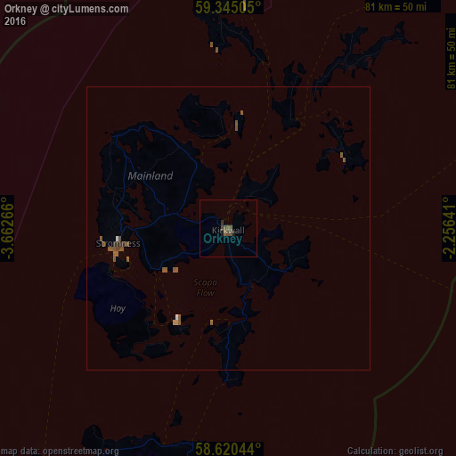
Analysis of Orkney night lights 2016
Square area 10x10 km:
 0%
0%90-99
0%80-89
0%70-79
0%60-69
0%50-59
1.41%40-49
1.52%30-39
0.32%20-29
0.22%10-19
0.87%0-9
95.67%Square area 50x50 km:
0.02%90-99
0.02%80-89
0%70-79
0.01%60-69
0.03%50-59
0.43%40-49
0.15%30-39
0.06%20-29
0.05%10-19
0.04%0-9
99.21%Clear (daylight) street map image can be seen on geolist.org.
Map coordinates:
59° 20' 42.2" North, 3° 39' 45.6" West
58° 59' 4.7" North, 2° 57' 34.3" West
58° 37' 13.6" North, 2° 15' 23.1" West
Some cities around Orkney sort by population:
• Elgin
149.9 km =93.1 mi,  188°
188°
• Fraserburgh
154.3 km =95.9 mi,  159°
159°
• Forres
157.7 km =98 mi, 194°
• Buckie
145.5 km =90.4 mi,  180°
180°
• Thurso
54.4 km =33.8 mi,  216°
216°
• Lossiemouth
141.7 km =88 mi, 187°
• Kirkwall
0 km =0 mi,  71°
71°
• Wick
61.2 km =38 mi, 187°
8299623 (p: 20,100)
Sources (retrieved 2019-11-25):
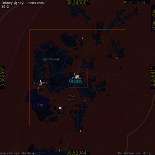
» Earth at Night: Flat Maps 2012, 2016