Lossiemouth night lights from space
Night Light of Lossiemouth (Scotland) from space (United Kingdom) Src. Average luminocity for 10x10km area is 4.9386% and for 50x50km: 1.0231%.
Analysis of Lossiemouth night lights 2016
Square area 10x10 km:
 0.23%
0.23%90-99
0.23%80-89
0.68%70-79
0.23%60-69
0.45%50-59
0.45%40-49
1.25%30-39
0.91%20-29
2.84%10-19
2.05%0-9
90.68%Square area 50x50 km:
0.16%90-99
0.16%80-89
0.11%70-79
0.06%60-69
0.13%50-59
0.09%40-49
0.14%30-39
0.17%20-29
0.22%10-19
0.55%0-9
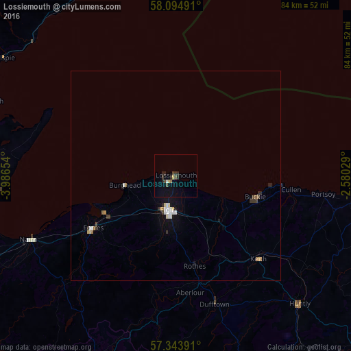
98.2%Clear (daylight) street map image can be seen on geolist.org.
Map coordinates:
58° 5' 41.7" North, 3° 59' 11.5" West
57° 43' 16.9" North, 3° 17' 0.3" West
57° 20' 38.1" North, 2° 34' 49" West
Some cities around Lossiemouth sort by population:
• Inverness
62.2 km =38.6 mi,  244°
244°
• Elgin
8.3 km =5.2 mi,  194°
194°
• Forres
23.6 km =14.7 mi, 238°
• Nairn
38.8 km =24.1 mi,  246°
246°
• Buckie
19.7 km =12.2 mi,  104°
104°
• Alness
57.8 km =35.9 mi,  267°
267°
• Westhill
58.5 km =36.4 mi, 241°
• Turriff
53.1 km =33 mi,  112°
112°
2643587 (p: 7,620)
Sources (retrieved 2019-11-25):
» Earth at Night: Flat Maps 2012, 2016