Buckie night lights from space
Night Light of Buckie (Scotland) from space (United Kingdom) Src. Average luminocity for 10x10km area is 2.1693% and for 50x50km: 0.8472%.
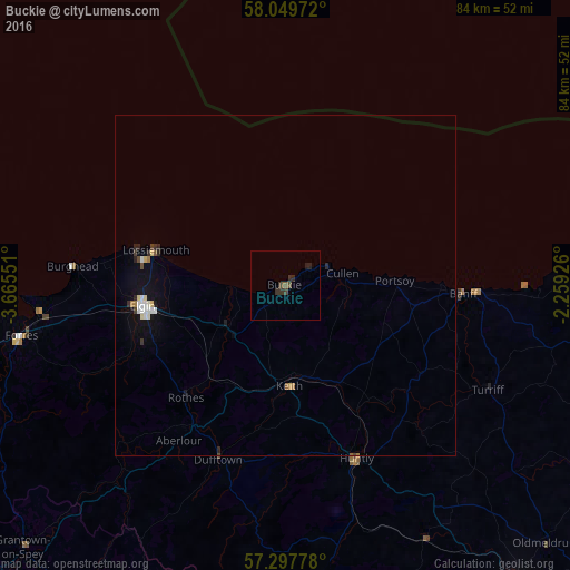
Analysis of Buckie night lights 2016
Square area 10x10 km:
 0%
0%90-99
0%80-89
0%70-79
0%60-69
0%50-59
0.91%40-49
0.91%30-39
1.82%20-29
1.36%10-19
0.45%0-9
94.55%Square area 50x50 km:
0.14%90-99
0.12%80-89
0.1%70-79
0.03%60-69
0.08%50-59
0.08%40-49
0.11%30-39
0.15%20-29
0.23%10-19
0.55%0-9
98.4%Clear (daylight) street map image can be seen on geolist.org.
Map coordinates:
58° 2' 59" North, 3° 39' 55.8" West
57° 40' 32.5" North, 2° 57' 44.6" West
57° 17' 52" North, 2° 15' 33.3" West
Some cities around Buckie sort by population:
• Elgin
21.4 km =13.3 mi,  262°
262°
• Fraserburgh
56.1 km =34.9 mi,  88°
88°
• Inverurie
55.8 km =34.7 mi,  141°
141°
• Ellon
63.4 km =39.4 mi,  123°
123°
• Forres
39.9 km =24.8 mi, 259°
• Nairn
55.6 km =34.5 mi, 259°
• Lossiemouth
19.7 km =12.2 mi,  284°
284°
• Turriff
33.6 km =20.9 mi, 116°
2654411 (p: 8,430)
Sources (retrieved 2019-11-25):
» Earth at Night: Flat Maps 2012, 2016