Kingswood night lights from space
Night Light of Kingswood (England) from space (United Kingdom) Src. Average luminocity for 10x10km area is 56.5816% and for 50x50km: 13.0037%.
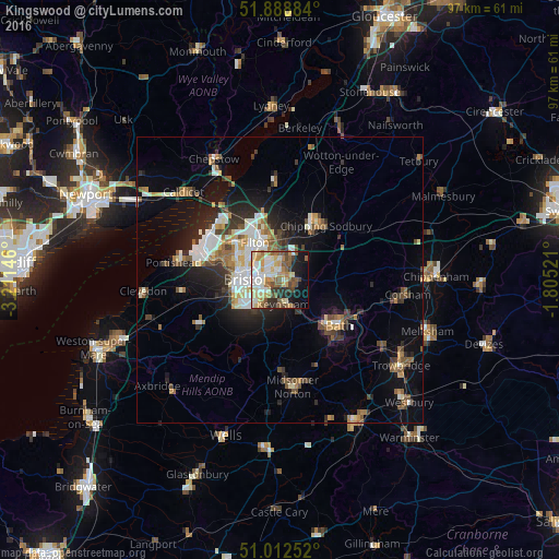
Analysis of Kingswood night lights 2016
Square area 10x10 km:
 9.89%
9.89%90-99
12.7%80-89
10.96%70-79
7.89%60-69
6.82%50-59
11.9%40-49
6.95%30-39
3.61%20-29
6.95%10-19
14.04%0-9
8.29%Square area 50x50 km:
2%90-99
2.39%80-89
1.2%70-79
1.37%60-69
1.57%50-59
2.05%40-49
1.77%30-39
1.7%20-29
3.35%10-19
6.77%0-9
75.82%Clear (daylight) street map image can be seen on geolist.org.
Map coordinates:
51° 53' 19.8" North, 3° 12' 41.3" West
51° 27' 10" North, 2° 30' 30" West
51° 0' 45.1" North, 1° 48' 18.8" West
Some cities around Kingswood sort by population:
• Bristol
6.1 km =3.8 mi,  272°
272°
• Mangotsfield
3.9 km =2.4 mi,  4°
4°
• Chipping Sodbury
12.4 km =7.7 mi,  39°
39°
• Yate
11.6 km =7.2 mi,  32°
32°
• Keynsham
4.4 km =2.7 mi,  170°
170°
• Stoke Gifford
7.5 km =4.7 mi,  342°
342°
• Bishopsworth
8.9 km =5.5 mi,  241°
241°
• Long Ashton
10.9 km =6.8 mi,  256°
256°
2645418 (p: 64,793)
Sources (retrieved 2019-11-25):
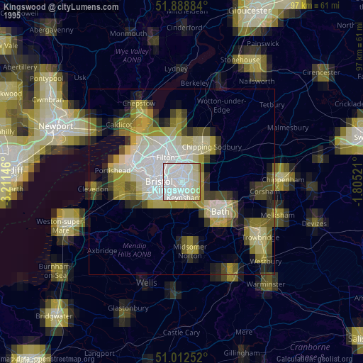
» NASA, Earths city lights 1995
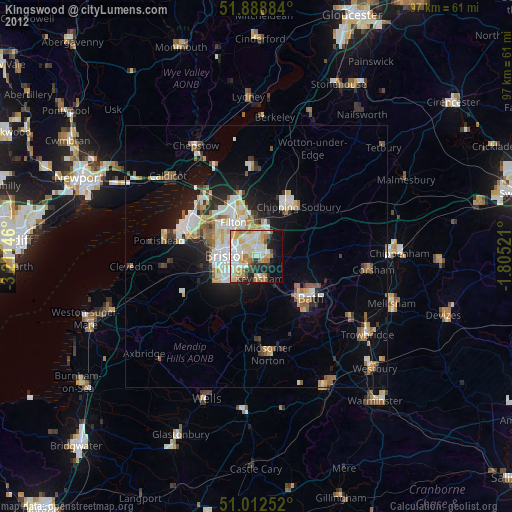
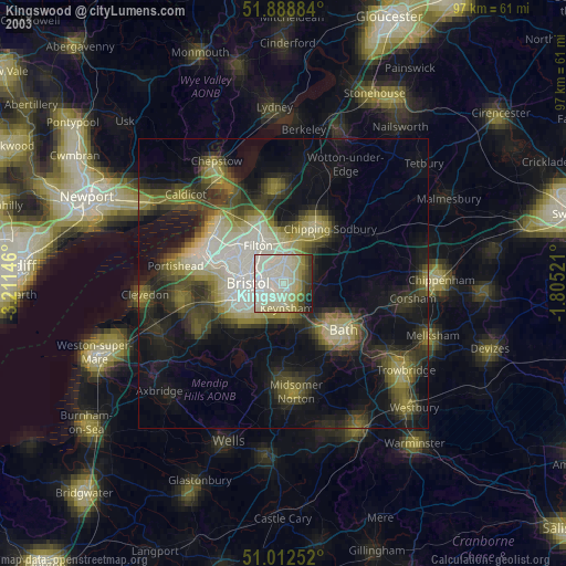
» NASA city lights 2003
» Earth at Night: Flat Maps 2012, 2016