Yate night lights from space
Night Light of Yate (England) from space (United Kingdom) Src. Average luminocity for 10x10km area is 14.766% and for 50x50km: 12.7644%.
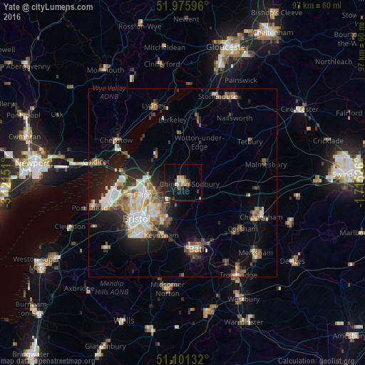
Analysis of Yate night lights 2016
Square area 10x10 km:
 1.47%
1.47%90-99
2.14%80-89
0.4%70-79
1.87%60-69
2.27%50-59
2.54%40-49
2.81%30-39
1.07%20-29
2.27%10-19
14.84%0-9
68.32%Square area 50x50 km:
2.02%90-99
2.34%80-89
1.18%70-79
1.34%60-69
1.65%50-59
2.01%40-49
1.73%30-39
1.75%20-29
3.41%10-19
6.22%0-9
76.36%Clear (daylight) street map image can be seen on geolist.org.
Map coordinates:
51° 58' 33.5" North, 3° 7' 17.4" West
51° 32' 26.7" North, 2° 25' 6.2" West
51° 6' 4.8" North, 1° 42' 54.9" West
Some cities around Yate sort by population:
• Bristol
15.6 km =9.7 mi,  232°
232°
• Kingswood
11.6 km =7.2 mi,  212°
212°
• Mangotsfield
8.4 km =5.2 mi, 225°
• Chipping Sodbury
1.7 km =1.1 mi,  99°
99°
• Keynsham
15.1 km =9.4 mi,  201°
201°
• Stoke Gifford
8.9 km =5.5 mi,  252°
252°
• Thornbury
10.3 km =6.4 mi,  317°
317°
• Wotton-under-Edge
11.4 km =7.1 mi,  26°
26°
2633406 (p: 34,406)
Sources (retrieved 2019-11-25):
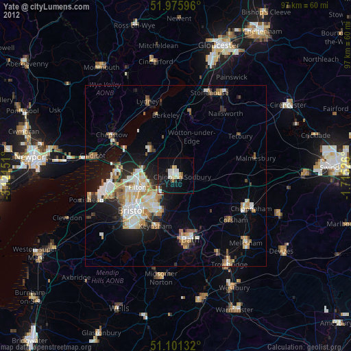
» Earth at Night: Flat Maps 2012, 2016