Houghton-Le-Spring night lights from space
Night Light of Houghton-Le-Spring (England) from space (United Kingdom) Src. Average luminocity for 10x10km area is 56.0586% and for 50x50km: 26.8607%.
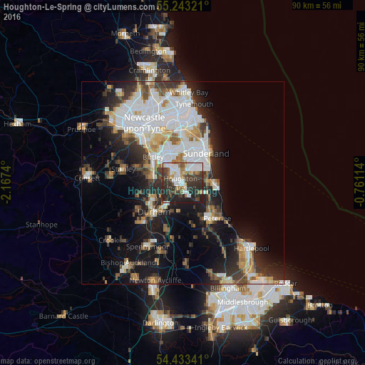
Analysis of Houghton-Le-Spring night lights 2016
Square area 10x10 km:
 18.54%
90-99
10.41%80-89
3.59%70-79
3.71%60-69
6.1%50-59
4.19%40-49
7.54%30-39
17.46%20-29
21.65%10-19
6.82%0-9
0%Square area 50x50 km:
7.64%90-99
5.54%80-89
2.16%70-79
2.38%60-69
2.77%50-59
2.65%40-49
2.67%30-39
4.84%20-29
6.44%10-19
11.86%0-9
51.05%Clear (daylight) street map image can be seen on geolist.org.
Map coordinates:
55° 14' 35.6" North, 2° 10' 2.6" West
54° 50' 25.2" North, 1° 27' 51.4" West
54° 26' 0.3" North, 0° 45' 40.1" West
Some cities around Houghton-Le-Spring sort by population:
• Sunderland
8.9 km =5.5 mi,  36°
36°
• Washington
7.4 km =4.6 mi,  333°
333°
• Chester-le-Street
7.3 km =4.5 mi,  286°
286°
• Seaham
7.6 km =4.7 mi,  91°
91°
• Ryhope
7 km =4.3 mi,  60°
60°
• Hetton-Le-Hole
2.8 km =1.7 mi,  160°
160°
• Murton
5.3 km =3.3 mi,  117°
117°
• Easington
9.1 km =5.7 mi,  132°
132°
2646525 (p: 37,840)
Sources (retrieved 2019-11-25):
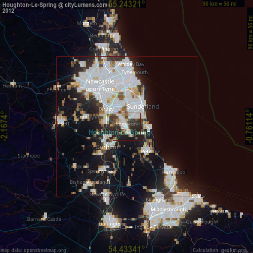
» Earth at Night: Flat Maps 2012, 2016