Seaham night lights from space
Night Light of Seaham (England) from space (United Kingdom) Src. Average luminocity for 10x10km area is 32.4151% and for 50x50km: 25.7639%.
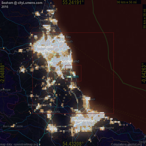
Analysis of Seaham night lights 2016
Square area 10x10 km:
 9.69%
9.69%90-99
3.71%80-89
1.91%70-79
1.56%60-69
3.71%50-59
2.51%40-49
2.51%30-39
9.69%20-29
20.33%10-19
16.27%0-9
28.11%Square area 50x50 km:
7.61%90-99
5.42%80-89
2.09%70-79
2.23%60-69
2.57%50-59
2.53%40-49
2.46%30-39
4.33%20-29
6.14%10-19
11.48%0-9
53.14%Clear (daylight) street map image can be seen on geolist.org.
Map coordinates:
55° 14' 30.9" North, 2° 2' 56" West
54° 50' 20.5" North, 1° 20' 44.7" West
54° 25' 55.5" North, 0° 38' 33.5" West
Some cities around Seaham sort by population:
• Sunderland
7.7 km =4.8 mi,  342°
342°
• Houghton-Le-Spring
7.6 km =4.7 mi,  271°
271°
• Peterlee
8.8 km =5.5 mi,  176°
176°
• Ryhope
3.9 km =2.4 mi, 336°
• Hetton-Le-Hole
7.1 km =4.4 mi,  249°
249°
• Murton
3.7 km =2.3 mi,  230°
230°
• Easington
6 km =3.7 mi,  188°
188°
• Wingate
12 km =7.5 mi, 190°
2638302 (p: 22,373)
Sources (retrieved 2019-11-25):
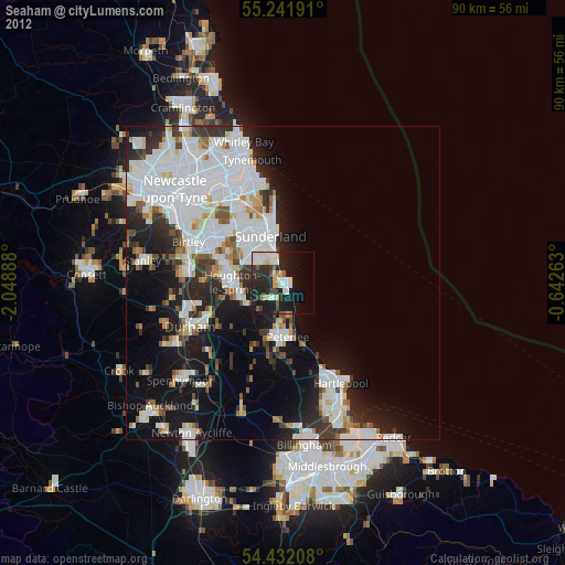
» Earth at Night: Flat Maps 2012, 2016