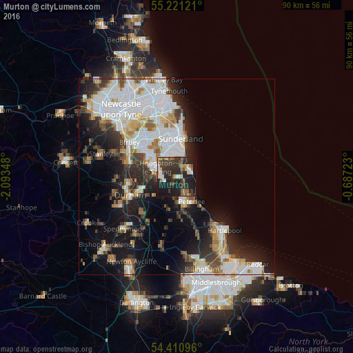
Murton night lights from space
Night Light of Murton (England) from space (United Kingdom) Src. Average luminocity for 10x10km area is 36.945% and for 50x50km: 27.5719%.
Analysis of Murton night lights 2016
Square area 10x10 km:
 3.95%
3.95%90-99
4.19%80-89
2.99%70-79
3.95%60-69
5.62%50-59
5.26%40-49
4.55%30-39
15.07%20-29
23.33%10-19
28.47%0-9
2.63%Square area 50x50 km:
8.21%90-99
6.07%80-89
2.22%70-79
2.34%60-69
2.73%50-59
2.58%40-49
2.51%30-39
4.28%20-29
6.17%10-19
12.47%0-9
50.43%Clear (daylight) street map image can be seen on geolist.org.
Map coordinates:
55° 13' 16.4" North, 2° 5' 36.5" West
54° 49' 5.2" North, 1° 23' 25.3" West
54° 24' 39.5" North, 0° 41' 14" West
Some cities around Murton sort by population:
• Sunderland
9.6 km =6 mi,  3°
3°
• Houghton-Le-Spring
5.3 km =3.3 mi,  297°
297°
• Peterlee
7.3 km =4.5 mi,  151°
151°
• Seaham
3.7 km =2.3 mi,  50°
50°
• Ryhope
6.1 km =3.8 mi,  12°
12°
• Hetton-Le-Hole
3.8 km =2.4 mi,  267°
267°
• Easington
4.2 km =2.6 mi, 151°
• Wingate
9.6 km =6 mi,  175°
175°
2641945 (p: 7,413)
Sources (retrieved 2019-11-25):
» Earth at Night: Flat Maps 2012, 2016