Belfast night lights from space
Night Light of Belfast (Northern Ireland) from space (United Kingdom) Src. Average luminocity for 10x10km area is 86.3684% and for 50x50km: 13.75%.
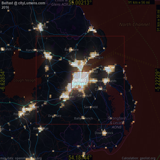

Analysis of Belfast night lights 2016
Square area 10x10 km:
 39.71%
90-99
29.9%80-89
6.82%70-79
4.19%60-69
4.55%50-59
2.03%40-49
3.11%30-39
6.34%20-29
3.35%10-19
0%0-9
0%Square area 50x50 km:
2.97%90-99
2.96%80-89
0.87%70-79
1.45%60-69
1.2%50-59
1.46%40-49
1.37%30-39
2.01%20-29
3.75%10-19
9.75%0-9
72.22%Clear (daylight) street map image can be seen on geolist.org.
Map coordinates:
55° 0' 7.7" North, 6° 37' 42.7" West
54° 35' 48.6" North, 5° 55' 31.5" West
54° 11' 14.8" North, 5° 13' 20.2" West
Some cities around Belfast sort by population:
• Lisburn
10.8 km =6.7 mi,  220°
220°
• Newtownabbey
7.1 km =4.4 mi,  8°
8°
• Castlereagh
3.7 km =2.3 mi,  134°
134°
• Dundonald
8.2 km =5.1 mi,  93°
93°
• Holywood
8 km =5 mi,  54°
54°
• Carryduff
9.1 km =5.7 mi,  164°
164°
• Jordanstown
9.8 km =6.1 mi, 9°
• Greenisland
12 km =7.5 mi,  15°
15°
2655984 (p: 274,770)
Sources (retrieved 2019-11-25):
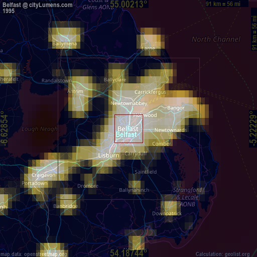
» NASA, Earths city lights 1995
» NASA city lights 2003
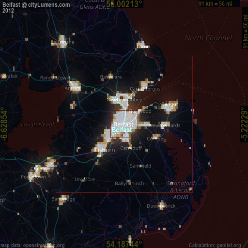
» Earth at Night: Flat Maps 2012, 2016