Harlow night lights from space
Night Light of Harlow (England) from space (United Kingdom) Src. Average luminocity for 10x10km area is 38.6835% and for 50x50km: 28.4624%.
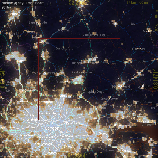
Analysis of Harlow night lights 2016
Square area 10x10 km:
 6.44%
6.44%90-99
10.5%80-89
4.48%70-79
3.08%60-69
2.8%50-59
4.2%40-49
1.68%30-39
4.2%20-29
16.81%10-19
34.17%0-9
11.62%Square area 50x50 km:
8%90-99
5.99%80-89
2.99%70-79
2.1%60-69
2.83%50-59
3.4%40-49
3.31%30-39
3.55%20-29
6.02%10-19
13.55%0-9
48.27%Clear (daylight) street map image can be seen on geolist.org.
Map coordinates:
52° 12' 34.2" North, 0° 35' 29.5" West
51° 46' 35.6" North, 0° 6' 41.7" East
51° 20' 21.9" North, 0° 48' 53" East
Some cities around Harlow sort by population:
• Bishops Stortford
11 km =6.8 mi,  17°
17°
• Hoddesdon
8.6 km =5.3 mi,  258°
258°
• Ware
10.4 km =6.5 mi,  291°
291°
• Broxbourne
9.6 km =6 mi,  250°
250°
• Epping
8.7 km =5.4 mi,  180°
180°
• Sawbridgeworth
5.2 km =3.2 mi,  30°
30°
• Old Harlow
1.7 km =1.1 mi,  63°
63°
• Chipping Ongar
12.3 km =7.6 mi,  131°
131°
2647461 (p: 94,365)
Sources (retrieved 2019-11-25):
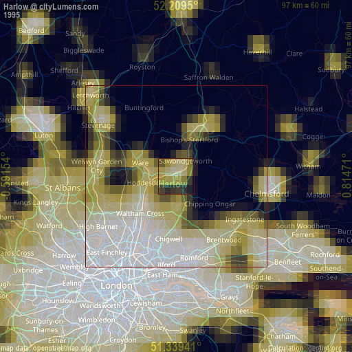
» NASA, Earths city lights 1995
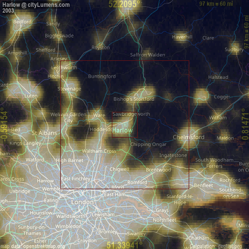
» NASA city lights 2003
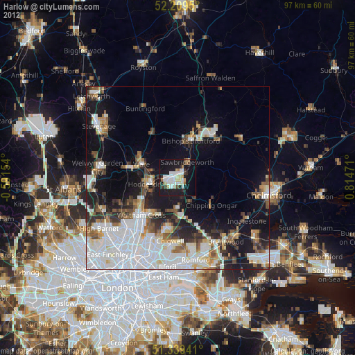
» Earth at Night: Flat Maps 2012, 2016